
What is recorded here
Situated on flat poorly drained land, there are no surface remains visible of filled-in holy well dedicated to St. Bridget and marked on all editions of the OS 6-inch maps as 'Brides Well'. Holy well located 40m N of a stream and 680m WNW of St. David's Church, Ardnurcher. In 1422 the Annals of Connacht recorded the following event which occurred at St. Bridget's Holy Well. In this year the Annals recorded that 'The sons of O Mailsechlainn made an attack on Ardnurcher (WM031-104----). Mag Eochacan was in the castle (WM031-099----) with a few men at that time, having with him also Cosnamach Oc [Óg] Mac Aedacain, law-ollav of the Cenel Fiachach and the Ui Failgi. The brehon mounted his horse and rode after them, thinking them to be the sons of Muirchertach Oc [Óg] Mac Eochacain, who were in rebellion against Mac Eochacain at the time, he himself having come [to the castle] to make settlement between the parties. He followed the band westwards out of the town to Topar Brigte [St. Brigid's Well]. Here the sons of O Mailsechlainn were waiting and at the noise of the rider they discharged the arrows which were ready in their bows and Cosnamach Oc [Óg] was killed without delays by an arrow-shot' (Ann. Conn., 461).
Compiled by: Caimin O'Brien
Date of upload: 13 August 2014
Linked to St. Bridget, the well was traditionally associated with healing and fertility, as was common with many wells dedicated to the saint. It was marked on Ordnance Survey maps, indicating its historical recognition and possible local use for ritual or devotional purposes.
The monument record does not grant public access. Check the route and ask the landowner before entering private land.
- What survives
- Recorded monument
Places near here
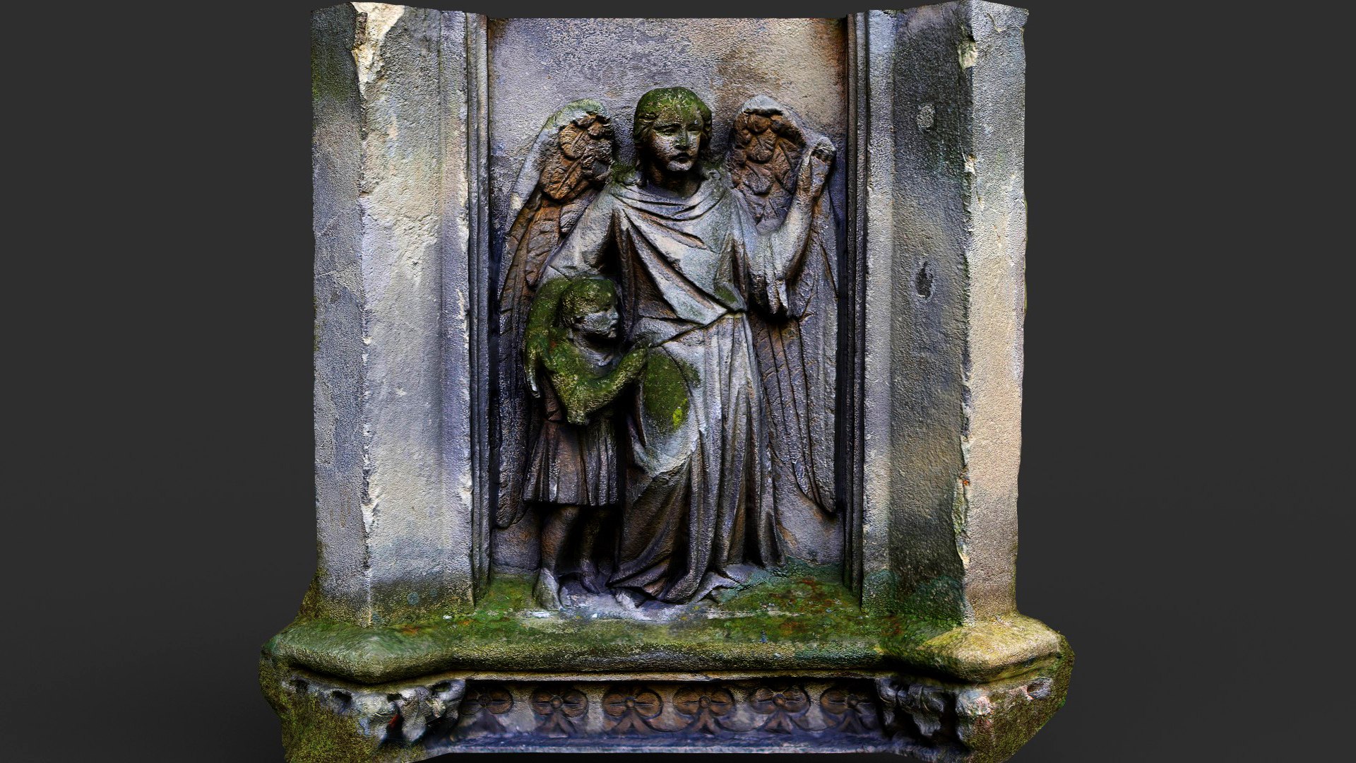 Wall monumentWall monument, effigial · 751 yd
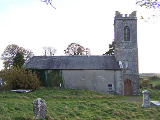 Horseleap Church (Ardnurcher or Horseleap)church/chapel · 761 yd
 Ecclesiastical enclosure in ArdnurcherEcclesiastical enclosure · 771 yd
 Settlement desertedSettlement deserted, medieval · 888 yd
 Hachured, Wall, HorseleapCastle, motte and bailey · 988 yd
 Syonan CastleCastle · 1665 yd
 Kilmalady HillMountain / peak · 1.8 mi
 ToberaskeenSpring · 3.7 mi
 Chapel HillForest · 3.8 mi
 Roughan HillMountain / peak · 3.9 mi
 High WoodWood · 5.4 mi
 Inchaloon IslandIslet · 5.8 mi
Other information
Photo: Credit not shown in the picture search · Rights wording not checked; contact us if this picture should be removed