What is recorded here
Marked only on the 1926 ed. of the OS 6-inch map as Clogh na gCrann, it is more correctly called 'Cloch na gCeann'. Originally situated at the E side of a road (WA003-045001-) towards the top of a S-facing slope. This is a sandstone boulder (dims. c. 1m x 1m x 1m) on which it is believed the heads of executed criminals were once displayed. It is now on the W side of the W road bank, c. 30m distant from its original location.
Compiled by: Michael Moore
Date of upload: 20 July 2010
The monument record does not grant public access. Check the route and ask the landowner before entering private land.
- What survives
- Recorded monument
Places near here
 Knocknacreha Housefarm house · 367 yd
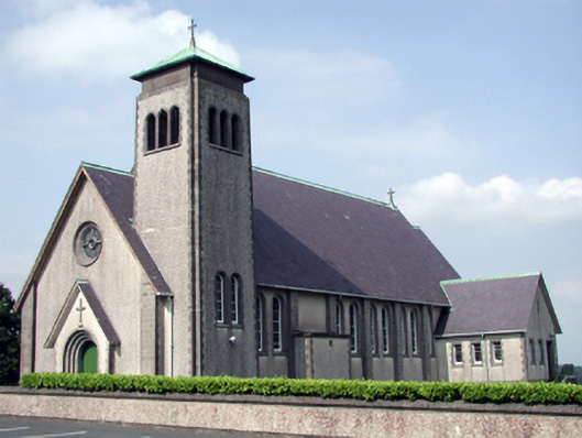 Catholic Church of the Sacred Heart of Jesuschurch/chapel · 446 yd
 IndicatedFairy fort / ringfort · 827 yd
 Enclosure in CarrowleighEnclosure · 838 yd
 Bawn in RathgormuckBawn · 936 yd
 MoteCastle, motte and bailey · 1.6 mi
 Curraheen TrailsVisitor information · 2.4 mi
 The Boolas LoopWalking route · 2.6 mi
 Churchtown WoodForest · 2.8 mi
 Coolnamuck Wood WestForest · 2.8 mi
 The Boolas Linear TrailWalking route · 3.1 mi
 CarrigcoumMountain / peak · 3.2 mi