What is recorded here
Borrisoleigh is a historic town in Borrisland North, Borrisland South, Cappanilly, Castlequarter (Glenkeen parish), Coolataggle, Gorteeny, Mountgeorge, County Tipperary, Ireland. Its name means borough of Ui Luighdheach, suggesting it once held that status even though no firm documentary evidence confirms a medieval town. A tower house in the present town belonged to the Burke family in the sixteenth century, and a 1628 inquisition described the place as a manor, castle, town and lands. The Civil Survey of 1654 to 1656 recorded a castle and bawn in good repair with an orchard, garden, water corn mill, six thatched houses and many cabins.
Situated on flat pasture in undulating countryside. While there is no firm documentary evidence that Borrisoleigh was a medieval town its name, meaning borough of Ui Luighdheach, would suggest that it had borough status. References in historical sources to Borrisoleigh appear to be relating to Borris (Two-Mile-Borris) (TN042-052). The tower house (TN034-046001) in the present town belonged to the Burke family in the sixteenth century (Killanin and Duignan 1967, 123). An Inquisition taken at Clonmel in 1628 describes Borrisoleigh as the 'manor, castle, town and lands of Borres O Leagh' (Callanan 1936-9, 68). In the Civil Survey 1654-6 Borres Ileigh is described as a 'castle and Bawne of Borres in good repaire, with an orchard, a good garden, a water corne mill in repaire, six thatcht houses and many Cabbins' (Simington 1931, vol. 1, 89). A former church and graveyard (TN034-046003) at the W end of the town, levelled between 1840 and 1902-3, may have been part of the earlier settlement.
In 2002 archaeological monitoring by Anne-Marie Lennon on a single storey extension to a factory within the zone of archaeological potential revealed nothing of archaeological interest. This monitoring was carried out under Licence No. 02E0211 (Bennett 2004, 471).
The above description is derived from 'The Archaeological Inventory of County Tipperary. Vol. 1 - North Tipperary' compiled by Jean Farrelly and Caimin O'Brien (Dublin: Stationery Office, 2002). In certain instances the entries have been revised and updated in the light of recent research.
Date of upload/revision: 22 September 2008
The monument record does not grant public access. Check the route and ask the landowner before entering private land.
- What survives
- Recorded monument
Places near here
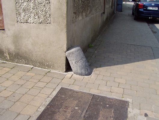 wheelguardwheelguard · 21 yd
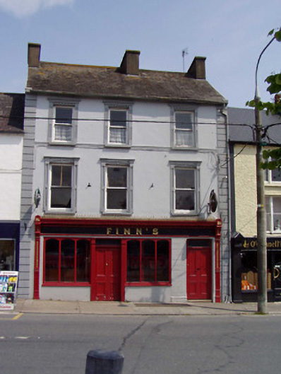 Finn'shouse · 31 yd
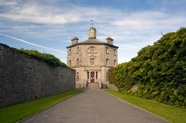 Castle (in ruins)Castle, tower house · 296 yd
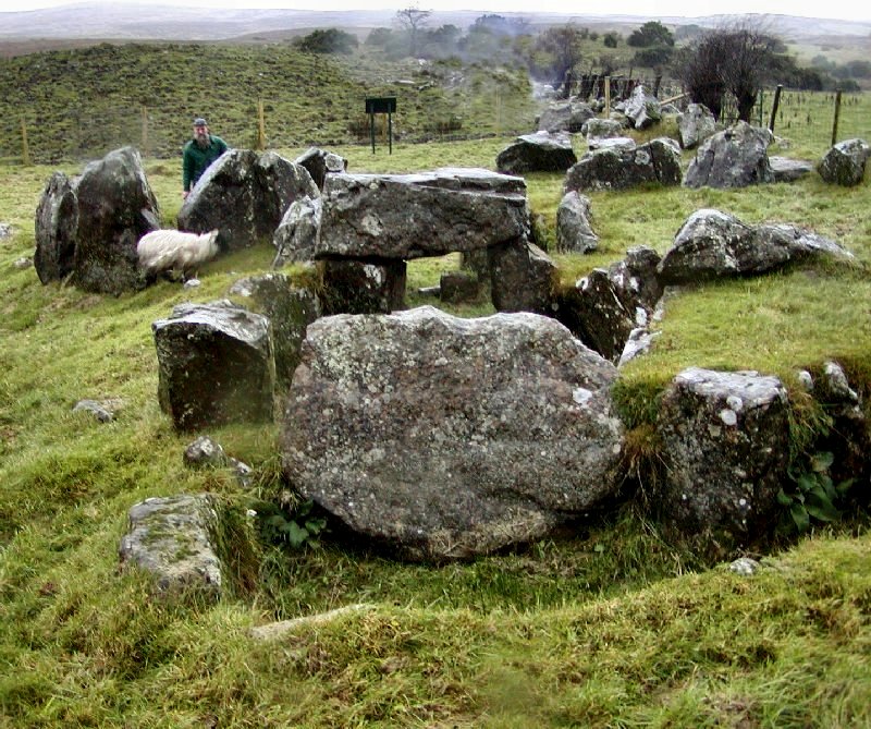 Enclosure in KnockanevinEnclosure · 937 yd
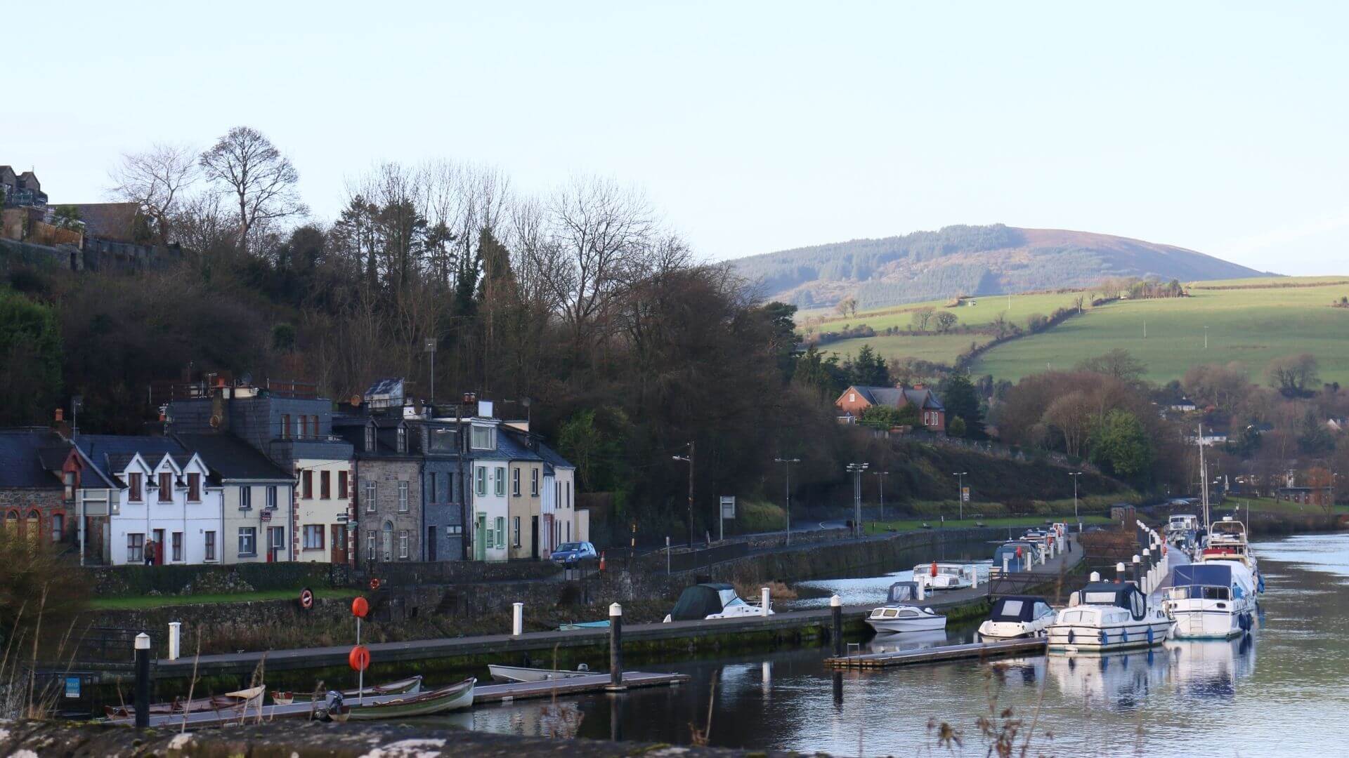 Fishmoyne Ho.Castle, unclassified · 1.3 mi
 RathmoyFairy fort / earthen ringfort · 1.3 mi
 Kilvilcorris BogForest · 2.2 mi
 Pallas HillMountain / peak · 3.5 mi
 Moher HillMountain / peak · 3.9 mi
 Morris's GroveForest · 4.8 mi
 James Devaney MemorialMemorial · 12 mi
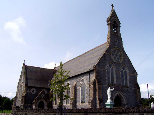 Catholic Church of the Sacred Heartchurch/chapel · 71 yd