What is recorded here
From the National Monuments Service (Archaeological Survey of Ireland) record MA094-004003
Places near here
Photo credits
- Maker not stated on source page, en.wikipedia.org
- Maker not stated on source page, www.flickr.com
- Maker not stated on source page, www.dreamstime.com
- Maker not stated on source page, www.mayo-ireland.ie
- Colin Park, Geograph · CC BY-SA 2.0
- National Inventory of Architectural Heritage
- Maker not stated on source page, commons.wikimedia.org
- Colin Park, www.geograph.ie
- Oliver Dixon, Geograph · CC BY-SA 2.0
 Penitential station in Caher IslandPenitential station · 233 yd
Explorer Tom This stone pile is planning to retire to Spain after centuries of standing around doing nothing. It wants to learn…
 Leacht in Caher IslandLeacht · 257 yd
Explorer Tom This Leacht in Caher Island would tell you its darkest secret after three pints, which is that it’s scared of cats.…
 Standing stone in Caher IslandStanding stone · 290 yd
Explorer Tom Standing stone in Caher Island has a New Year's resolution to stay put for another thousand years or so. It’s probably…
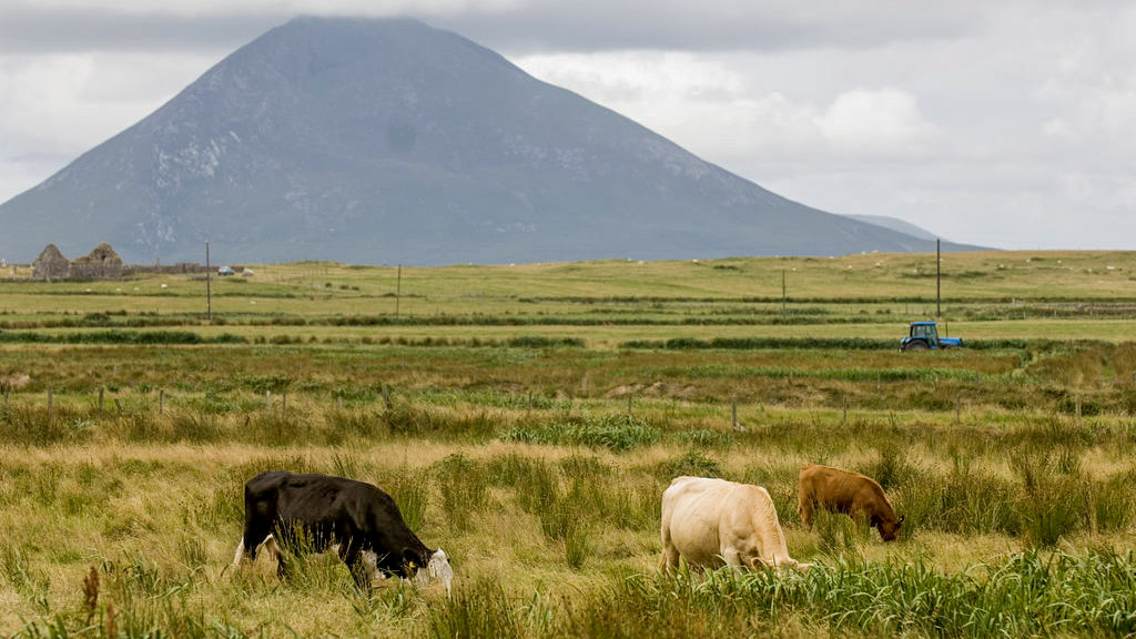 Field system in Caher IslandField system · 344 yd
Explorer Tom Field system in Caher Island has a reputation for hiding treasure, but it’s almost definitely just an old biscuit tin…
 Caher IslandIsland · 611 yd
Explorer Tom Caher Island calls itself the City of the Saints, and the city in question has no streets, shops or resident mayor.…
 Ballybeg IslandIslet · 1593 yd
Explorer Tom Ballybeg Island: I suspect the ghost haunting this place is too lazy to actually haunt it, preferring instead to nap in…
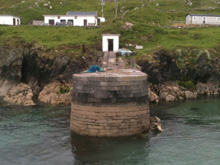 pier/jetty2.9 mi
Explorer Tom Pier or jetty in Garranty was built for an Earl who probably never even touched the wet stuff. It knows its own history…
 St. Columba's Inishturk GraveyardGraveyard · 3.3 mi
Explorer Tom St. Columba's Inishturk Graveyard in County Mayo is currently feuding with the rain because it keeps getting soaked…
 Inisturk GAA pitchGAA ground · 3.7 mi
 InishturkMountain / peak · 3.7 mi
Explorer Tom Inishturk would complain to the council about the lack of proper signage and the terrible parking situation nearby. It…
 Bunlough StrandBeach / strand · 4.5 mi
Explorer Tom Bunlough Strand near Killadoon is the Mayo shore for anyone who suspects a beach ought to have a bit of character, not…
 White StrandBeach / strand · 5.6 mi
Explorer Tom White Strand has a name so simple it feels like a cheat code for finding peace, but don’t let that fool you. It’s…
More historic places in County Mayo · All of County Mayo

What do you know about this place?Tap to add a comment or ask a question