What is recorded here
The remains of a roadway depicted on all editions of the OS 6-inch map as 'Bohereennamarve' meaning 'little road of the dead' and which appears to connect the public road to Templecross church (WM011-051----) and graveyard (WM011-051001-) and onwards to Tristernagh Abbey (WM011-053----). The roadway (approx. Wth. 15m) runs from SW to NE for a distance of c. 1.3km. A small bridge (WM011-052----) at the NE end of the roadway traverses a small stream giving access to Tristernagh Abbey (WM011-053----).
An Extent of the priory lands made at Tristernagh Priory on the 8th of October 1540 described the road as following; 'Within the site of the priory (WM011-053----) or manor:, a church, which is the parish church; its belfry is a stone tower. Certain chambers and other buildings necessary for the farmer's use. A curtilage surrounded with a stone wall. All these are situated above a large lake (Lough Iron), broad and deep. The other parts of the site are surrounded with a large bog, except that there is a single straight road (WM011-049----) for entrance' (White 1943, 276).
Compiled by: Caimin O'Brien
Date of upload: 21 October 2010
The monument record does not grant public access. Check the route and ask the landowner before entering private land.
- What survives
- Recorded monument
Places near here
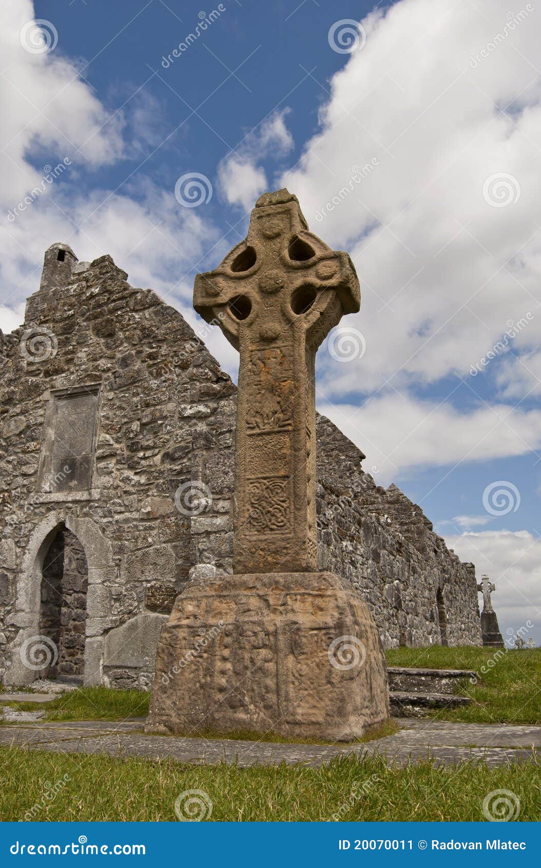 Site of CrossCross · 408 yd
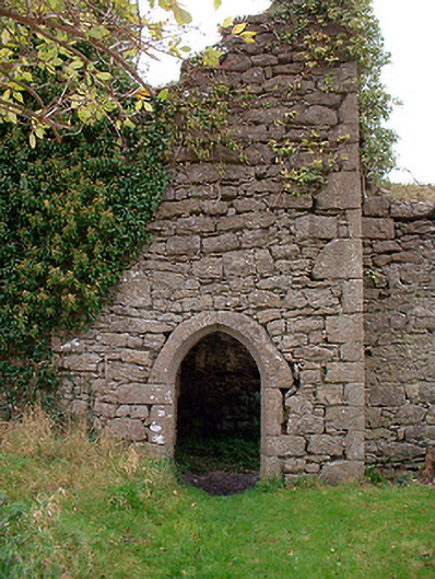 Templecross Grave Yardgraveyard/cemetery · 433 yd
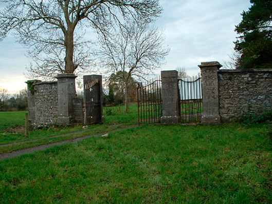 Tristernagh Housedemesne walls/gates/railings · 434 yd
 RaheenFairy fort / earthen ringfort · 675 yd
 Baronstown ForestWood · 1406 yd
 Horse-chestnutHorse-chestnut · 1680 yd
 CastleCastle, motte and bailey · 1.1 mi
 Site of Castle, Castle FieldCastle, unclassified · 1.3 mi
 Craft WorkshopHeritage attraction · 9.1 mi
 Guest ServicesVisitor information · 9.1 mi
 Newcastle WoodsForest · 9.6 mi
 Rock of CurryCliff · 12 mi