What is recorded here
Adjacent to county road, overlooking bogland to N and gently undulating grassland to S. Marked on 1st ed. of OS 6-inch map by a dot but evidently removed by the time of 3rd ed. (1931) when the words 'Site of' are appended. No visible surface trace survives. Two similar monuments (GA019-017----, GA019-012----) lay 170m SE and 150m to SW, respectively, and there was also a names bush (GA019-016----) 40m to NW.
The above description is derived from the published 'Archaeological Inventory of County Galway Vol. II - North Galway'. Compiled by Olive Alcock, Kathy de hÓra and Paul Gosling (Dublin: Stationery Office, 1999).
Date of upload: 05 August 2010
The monument record does not grant public access. Check the route and ask the landowner before entering private land.
- What survives
- Recorded monument
Places near here
 St. Michaels WellHoly well · 1028 yd
 Church in KilbegnetChurch · 1.3 mi
 Quarry in CarrownagloghQuarry · 1.4 mi
 Enclosure in BallincurryEnclosure · 1.4 mi
_-_geograph.org.uk_-_1952978.jpg?width=1280) Bawn in Glinsk (ballymoe By.)Bawn · 2.4 mi
Bawn in Glinsk (ballymoe By.)Bawn · 2.4 mi Site of Killomaine Grave YardArchaeological place · 3.0 mi
 Mount MaryMountain / peak · 3.8 mi
 HawthornHawthorn · 4.0 mi
 European ashEuropean ash · 4.3 mi
 CastleCastle, unclassified · 4.5 mi
 Sally IslandIslet · 4.7 mi
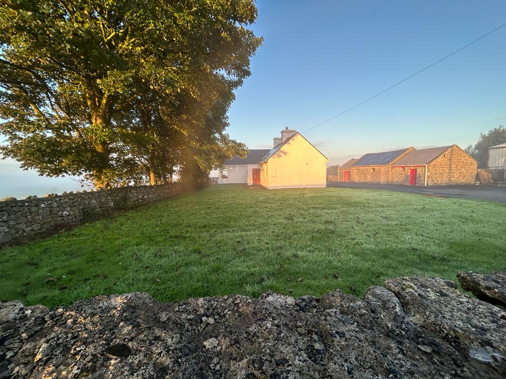 Hilltop enclosure in Clooncah (ballymoe By.)Hilltop enclosure · 1.4 mi