
What is recorded here
From the National Monuments Service (Archaeological Survey of Ireland) record CL006-006002
Places near here
Photo credits
- Robert Bone, Geograph · CC BY-SA 2.0
- Maker not stated on source page, commons.wikimedia.org
- Maker not stated on source page, en.m.wikipedia.org
- Maker not stated on source page, monumentalireland.ie
- Maker not stated on source page, en.wikipedia.org
- National Inventory of Architectural Heritage
- Maker not stated on source page, ca.pinterest.com
- Maker not stated on source page, www.tripadvisor.com.au
- MarvinVells, Wikimedia Commons · CC BY-SA 3.0
- Maker not stated on source page, www.nationalgeographic.com
- Robert Linsdell from St. Andrews, Canada, Wikimedia Commons · CC BY 2.0
- PDphoto.org, Wikimedia Commons · Public domain
 Moneen MountainMountain / peak · 1197 yd
Explorer Tom Moneen Mountain would say in a job interview that it has excellent stability and a great view of the bay, but needs…
 Fairy fort / earthen ringfort in BallyhehanFairy fort / earthen ringfort · 1260 yd
Explorer Tom Fairy fort / earthen ringfort in Ballyhehan is a large circular rath with an earthen bank. It gave up sugar for Lent…
 Enclosure in BallyhehanEnclosure · 1522 yd
Explorer Tom Ballyhehan's enclosure is so flat it might be a rumor about a hole in the ground. It has a secret talent for making…
 Fairy fort / earthen ringfort in Acres (burren By.),tonarussaFairy fort / earthen ringfort · 1.3 mi
Explorer Tom Fairy fort in Acres, Tonarussa is so poorly preserved that I think a fox took charge of it last winter and moved its…
 Drumcreehy Church (in ruins)Church · 1.6 mi
Explorer Tom Drumcreehy Church sat on a ridge so high the Vikings got lost looking for it and gave up on religion entirely. It’s…
 mausoleum1.6 mi
Explorer Tom Mausoleum in Bishopsquarter was once ruled by a goat who ate all the inscriptions, leaving only the obelisk standing in…
 Turlough Castle (in ruins)Castle, unclassified · 1.6 mi
Explorer Tom Turlough Castle was an O’Loughlin stronghold that got passed around like a bad joke in 1590. The seagulls there say…
 Gall IslandIslet · 2.2 mi
Explorer Tom Gall Island in County Clare has an imaginary twin across the sea that it argues with every single day about who is more…
 Aillwee CaveCave · 2.3 mi
Explorer Tom Aillwee Cave owes its public story to a dog chasing a rabbit, which is a better guide than I have ever been. Farmer…
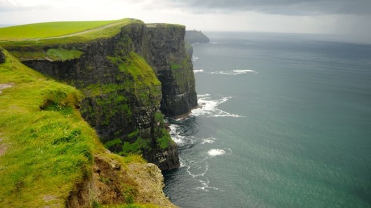 Green IslandIslet · 2.3 mi
Explorer Tom Green Island in County Clare would post a photo of itself looking smug and caption it with a hashtag about being…
 CappanawallaMountain / peak · 4.3 mi
Explorer Tom Cappanawalla in County Clare has a favourite song, which is likely just the sound of the wind howling through its…
 Gleninagh CastleCastle · 5.0 mi
Explorer Tom Gleninagh Castle's favourite song is definitely 'Stairway to Heaven' because it likes the idea of climbing up high and…
More archaeology and monuments in County Clare · All of County Clare

What do you know about this place?Tap to add a comment or ask a question