What is recorded here
Killeen is a children's burial ground in County Clare, Ireland, where small unworked flags and erect stones still mark the west edge of a faded rectangular enclosure. The site sits on level pastureland and has kept its name on maps since 1842, suggesting that nearby people continued to recognise the place long after its boundaries blurred. The children may have been from a household, a parish or a passing trade route, but the care taken to set separate markers shows they were not forgotten.
On level and improved pastureland. Indicated and named ‘Killeen’ on the 1842 and 1915 eds. of the OS 6-inch maps. A poorly preserved rectangular enclosure (L 15.5m N–S; Wth 11.7m ext.) defined only along its E side and at the E end of its S side by a low overgrown scarp (H 0.6–0.9m). Burials are concentrated along the W side, marked by small unworked flat flags and a few small erect marker stones.
The remains of an enclosure (CL006-003002-) are located c. 30m to the SSE.
Compiled by: Mary Tunney and Ros Ó Maoldúin
Date of upload: 28 April 2021
The monument record does not grant public access. Check the route and ask the landowner before entering private land.
- What survives
- Recorded monument
Places near here
 Killeen Children's Burial GroundArchaeological place · 14 yd
 Enclosure in KilweelranEnclosure · 172 yd
 Moneen MountainMountain / peak · 1376 yd
 Castle Mael (in ruins)Castle, unclassified · 1748 yd
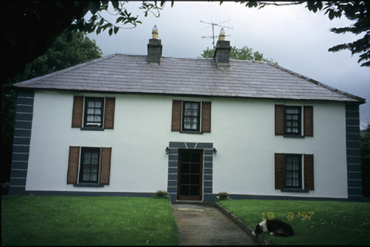 Abbey Househouse · 1.5 mi
 Turlough CastleArchaeological place · 1.6 mi
 mausoleummausoleum · 1.6 mi
 Battle of Lough Raskabattle · 2.0 mi
 Aillwee CaveCave · 2.2 mi
 Bird Of Prey CentreHeritage attraction · 2.2 mi
 Corcomroe Abbey Geopark SiteVisitor information · 2.4 mi
 Corcomroe AbbeyVisitor information · 2.4 mi