
What is recorded here
Single-arched railway bridge, built c.1859, carrying road over former Great Southern and Great Western Railway Company’s Portarlington to Athlone railway line. Still in active use. Constructed of coursed rusticated limestone with an ashlar limestone string course at road level, ashlar limestone coping over parapet…
Read the whole record
Single-arched railway bridge, built c.1859, carrying road over former Great Southern and Great Western Railway Company’s Portarlington to Athlone railway line. Still in active use. Constructed of coursed rusticated limestone with an ashlar limestone string course at road level, ashlar limestone coping over parapet walls and brick voussoirs to the arch. Piers to either end of parapet walls (north and south). Located to the southwest of Moate.
A robust and elegantly-appointed railway bridge representing an important element of the transport and civil engineering heritage of County Westmeath. This bridge was originally built by the Great Southern and Western Railway Company to serve the Portarlington to Athlone line, which opened in 1859. This bridge is one of a number of similar bridges in the area associated with this company. This bridge is well-built using bold rusticated limestone, a typical feature of mid nineteenth-century engineering projects of this nature.
From the Buildings of Ireland (National Inventory of Architectural Heritage) record 15403606
Places near here
Picture notes
- Computer-made picture. It does not show this monument.
- National Inventory of Architectural Heritage
- dougf, Wikimedia Commons · CC BY-SA 2.0
- Willow, Wikimedia Commons · CC BY 2.5
- Computer-made picture. It does not show this playground.
- Computer-made picture. It does not show this garden.
- Computer-made picture. It does not show this walking route.
- Mike Searle, Wikimedia Commons · CC BY-SA 2.0
 Fairy fort / earthen ringfort in ClonydonninFairy fort / earthen ringfort · 164 ydComputer-made picture
 IndicatedBullaun stone · 211 ydComputer-made picture
 Bullaun stone (present location) in ClonydonninBullaun stone (present location) · 221 ydComputer-made picture
 BarrowBarrow, pond barrow · 309 ydComputer-made picture
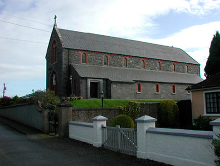 Saint Kieran's Catholic ChurchChurch/chapel · 1.1 mi
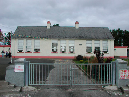 Kilcleagh National SchoolSchool · 1.1 mi
 Esker CastleCastle, tower house · 1.9 mi
 European ash2.0 mi
 Children's playground3.1 miComputer-made picture
 Oliver Donoghue's Yard since 1992Garden · 5.4 miComputer-made picture
 Athlone Sli na SlainteWalking route · 6.3 miComputer-made picture
 Clonlyon CastleCastle, tower house · 6.5 mi
More historic places in County Westmeath · All of County Westmeath

What do you know about this place?Tap to add a comment or ask a question