What is recorded here
Unable to locate bullaun stone originally recorded as standing in a fairly level field with good views in all directions but has since been moved from this location and is now located on S bank of stream which forms N and W boundary of field. Nearby Ringfort (WM036-037----) 320m to N, ringfort (WM036-040----) 400m to SSE, ringfort (WM036-039----) 315m to SSW, ringfort (WM036-036----) 420m to W. Bullaun stone recorded in 1979 (SMR File) and described as consisting of a roughly triangular-shaped limestone rock with an oval depression (diam 0.3m NW-SE; 0.35m NE-SW; D 0.12m) on its flattish upper surface. Last recorded in this field in 1983 when it was surveyed by the Archaeological Survey of Ireland and described as a ‘large boulder with a wide, deep, circular hollow cut into it. The stone is c. 1.5m long by 1m thick by 1m high. The hollow is c. 60cm in diameter by 35cm deep. The stone is now situated on the S bank of a stream. However the landowner informed me that it formerly stood c. 50m out into the field to S and was only moved to its present location in recent years. There is no known local tradition of a church or burial ground in the vicinity’ (SMR File 20/09/1983).
Compiled by: Caimin O’Brien
Date of upload: 05 August 2014
The monument record does not grant public access. Check the route and ask the landowner before entering private land.
- What survives
- Recorded monument
Places near here
 Bladderry Bridgebridge · 211 yd
 IndicatedFairy fort / earthen ringfort · 367 yd
 OutlinedEnclosure · 586 yd
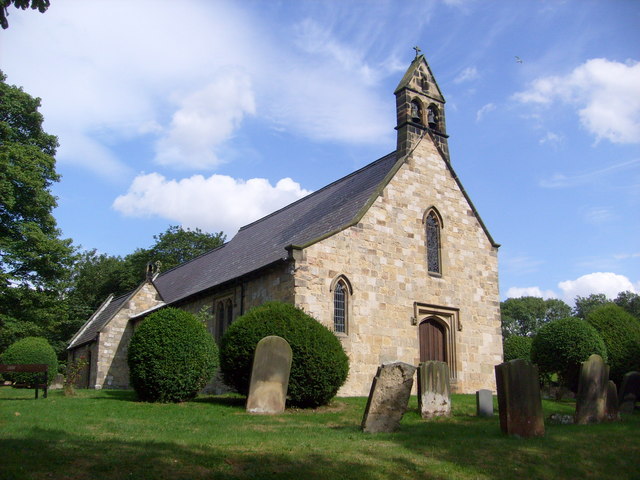 Church in Clonaltra WestChurch · 1040 yd
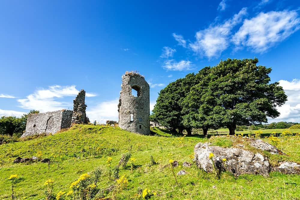 CastleCastle, unclassified · 1.0 mi
 Esker CastleCastle, tower house · 1.8 mi
 European ashEuropean ash · 2.0 mi
 Dún na SíMuseum · 3.9 mi
 Dún na Sí Heritage CentreMuseum · 4.0 mi
 Charles BianconiMemorial · 4.1 mi
 Moate HillMountain / peak · 4.1 mi
 Endrim HillMountain / peak · 4.5 mi