
What is recorded here
Located just SE of the summit of a small NW-SE drumlin ridge, and overlooking Blackraw and Greagh Loughs that are now combined in to one lake, the E end of which is c. 200m to the S. This is a subcircular grass-covered area (dims 36.4m E-W; 32m N-S) defined by an earthen bank (Wth of base c. 6m; int. H 0.9-1.5m; ext. H c. 3-4m) separated by a fosse (Wth of top c. 9m) from an outer earthen bank (at N: Wth of base 4m; int. H 1.5m; ext. H 1.4m) that is incorporated into a field bank ESE-SW, replaced by a stone wall SW-WNW and has a field bank on top of it NW-N. A field bank also sits on top of the inner edge of the outer bank NE-ESE. The entrance through the inner (Wth of base 4.1m) and outer (Wth of base 6.3m) banks and a causeway (Wth of top 4.8m; H 0.45m) is at NNE. A depression (dims 12.7m NNE-SSW; 3.1m E-W; D 1m) extending from the centre to the bank at NNW could be a collapsed Man-made underground passage although no stone is visible, and there is a circular hollow (diam. 6m; D 0.4m) inside the bank at S.
The above description is derived from the published 'Archaeological Inventory of County Monaghan' (Dublin: Stationery Office, 1986). In certain instances the entries have been revised and updated in the light of recent research.
Compiled by: Michael Moore
Date of revision: 23 February 2018
A local fairy fort (ringfort/rath); wider significance not recorded.
The monument record does not grant public access. Check the route and ask the landowner before entering private land.
- What survives
- Recorded monument
Places near here
 Giants GreveWedge tomb · 686 yd
 Megalithic tomb in CalliaghMegalithic tomb · 844 yd
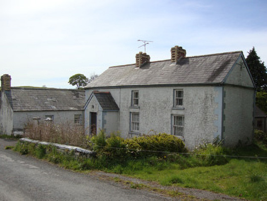 Brookside Cottagehouse · 1.3 mi
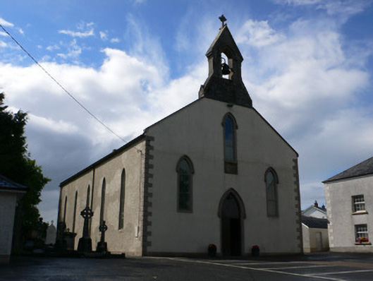 Saint Michael's Catholic Churchchurch/chapel · 1.5 mi
 Rossmore MausoleumHeritage attraction · 2.2 mi
 Dagda's CauldronHeritage attraction · 2.3 mi
 Hazel WoodWood · 3.1 mi
 Lisarrilly HillMountain / peak · 3.3 mi
 Roosky Castle (Site of)Castle, ringwork · 3.8 mi
 Bawn in Roosky (monaghan By., Monaghan Par.)Bawn · 4.6 mi
 Rossmore MonumentMemorial · 4.6 mi
 Tomb HillMountain / peak · 5.1 mi
Other information
Photo: Credit not shown in the picture search · Rights wording not checked; contact us if this picture should be removed