
What is recorded here
Single-arch road bridge over former canal, c. 1830. Remains of canal to site, closed 1950, filled in post-1950.
This does not grant access. Most recorded buildings are privately owned; view them only from public ground unless the owner allows entry.
Places near here
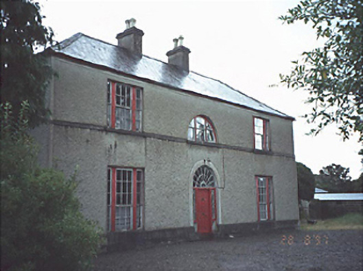 Ballymorris Househouse · 1427 yd
 The Spirefolly · 1478 yd
 Pedunculate OakPedunculate Oak · 1.4 mi
 CastleCastle, motte and bailey · 1.6 mi
 Church (in Ruins), GraveyardChurch · 1.8 mi
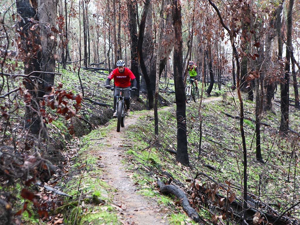 Derryounce Walk (Red Loop)Walking route · 2.1 mi
 Bog Oak WalkWalking route · 2.2 mi
 Tinnakill Castle (in Ruins)Castle, tower house · 2.2 mi
 Enclosure in GarryhinchEnclosure · 2.3 mi
 RathmilesFairy fort / earthen ringfort · 2.3 mi
 Birchpark WoodWood · 2.4 mi
 Spa WellSpring · 2.5 mi
Other information
Photo: Jonathan Thacker · Creative Commons Attribution-ShareAlike 2.0