What is recorded here
A low, earthen bank (H. 1.5m), flanked by a shallow fosse on its western side with intermittent traces of a second fosse on the eastern side, runs roughly N-S across the E-side of the Curragh (est. L c. 2400m): the N-half of its course runs NNW-SSE (est. L. c. 1250m), before changing direction slightly to run N-S (est. L. c. 1150m).
Compiled by: Gearóid Conroy
Date of upload: 10 June 2011
The monument record does not grant public access. Check the route and ask the landowner before entering private land.
- What survives
- Recorded monument
Places near here
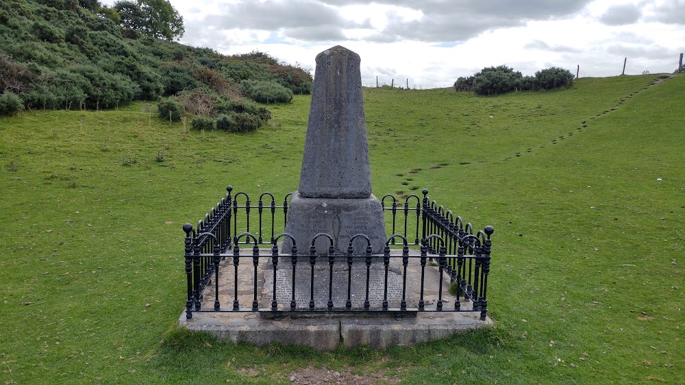 Donnelly's HollowMonument · 457 yd
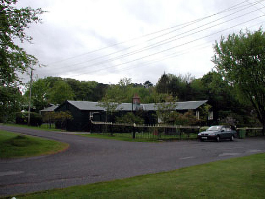 The Chalet ""K""-Linesprison/jail · 665 yd
 Enclosure in Curragh (ballysax East Ed)Enclosure · 703 yd
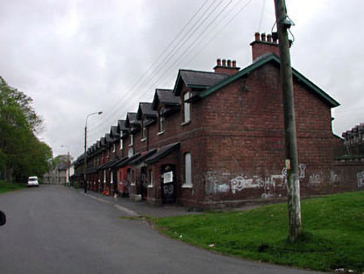 officer's houseofficer's house · 895 yd
 ElderElder · 1.2 mi
 CastleCastle, unclassified · 1.5 mi
 Newbridge SilverwareMuseum · 1.9 mi
 TumulusCastle, motte and bailey · 2.1 mi
 Pollardstown Fen Nature ReserveNature reserve · 3.1 mi
 Saint Fiachra's GardenHeritage attraction · 3.8 mi
 Battle of Kilrushbattle · 6.4 mi
 Grand Canal WayVisitor information · 8.2 mi