
What is recorded here
Single-arch hump back bridge over canal, dated 1784. Part ivy-covered repointed walls with braced lichen-spotted cut-limestone coping to parapets centred on drag edged cut-limestone date stones ("1784"). Single round arch with drag edged limestone ashlar voussoirs centred on drag edged cut-limestone keystones. Sited…
Read the whole record
From the Buildings of Ireland (National Inventory of Architectural Heritage) record 11806004
Places near here
Photo credits
- Eirian Evans, Geograph · CC BY-SA 2.0
- National Inventory of Architectural Heritage
- Alex Passmore, Geograph · CC BY-SA 2.0
- Kmcnamee, Wikimedia Commons · CC BY-SA 4.0
- Maker not stated on source page, monumentalireland.ie
- Maker not stated on source page, www.irishexaminer.com
- Maker not stated on source page, en.wikipedia.org
- Maker not stated on source page, commons.wikimedia.org
- Maker not stated on source page, www.irishcentral.com
- Maker not stated on source page, www.pinterest.com
- Maker not stated on source page, au.pinterest.com
 Charlie WeldHouse · 43 yd
Explorer Tom Charlie Weld in Robertstown West is refusing to collapse because it’s too busy pretending to be grand. It fronts the…
 Weld'sHouse · 47 yd
Explorer Tom Weld’s would post a selfie with a caption saying 'living my best canal life' every day. It’s asymmetric but tries too…
 water pump72 yd
Explorer Tom Water pump in Robertstown West is sick of being asked if it’s a cow's tail, but it kind of looks like one. It’s cast…
 Grand Canal WayVisitor information · 268 yd
Explorer Tom Grand Canal Way is full of secrets that only come out after three pints, like which bridge was built by a love-struck…
 Robertstown GAA pitchGAA ground · 801 yd
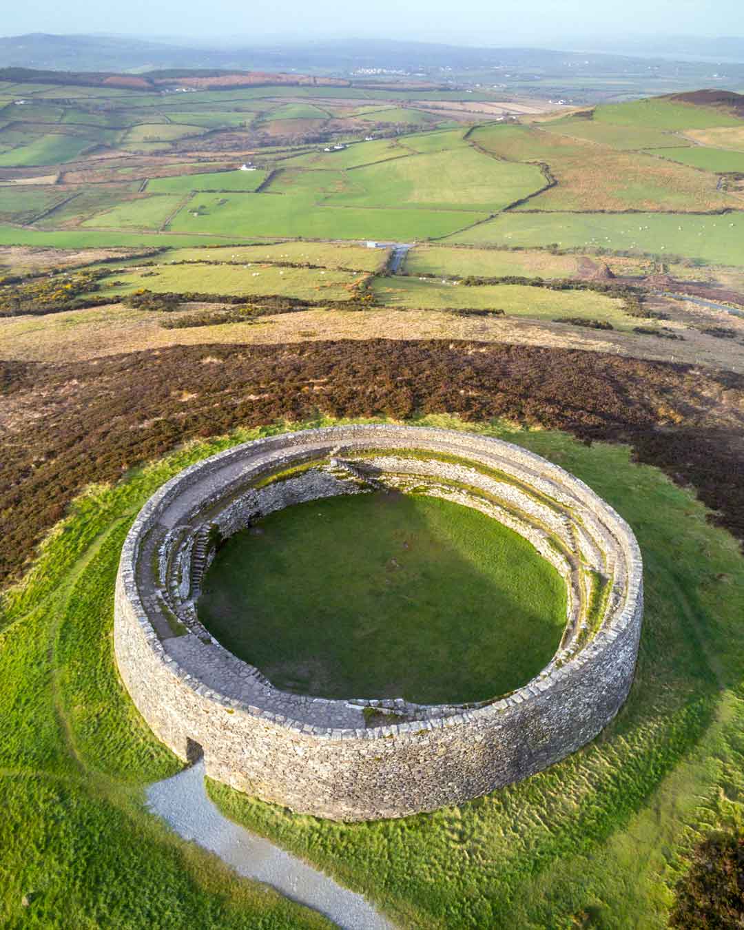 Fairy fort / ringfort in Lowtown (kilmeage South Ed)Fairy fort / ringfort · 1000 yd
Explorer Tom Fairy fort / ringfort in Lowtown would buy a boat and sail away from the cows that keep eating its fence. It’s got…
 Fairy fort / earthen ringfort in Mylerstown (robertstown Ed)Fairy fort / earthen ringfort · 1094 yd
Explorer Tom Fairy fort / earthen ringfort in Mylerstown is definitely going to win best in show at the county fair this year. It…
 Coill Dubh GAA pitchGAA ground · 1.6 mi
 Graveyard in KilmeageGraveyard · 1.7 mi
Explorer Tom Graveyard in Kilmeage hosted a dance that went on so long the dancers forgot how to stand up properly. It’s just a…
 CastleCastle, unclassified · 1.7 mi
Explorer Tom Castle in Grangeclare West had a matchmaker who worked there, arranging dates between knights and their horse armor.…
 Kilmeage CastleCastle, tower house · 1.8 mi
Explorer Tom Kilmeage Castle is currently run by a very stern-looking dog who thinks he’s the owner. Cromwell’s troops took it in…
 Crosspatrick GraveyardGraveyard · 2.0 mi
Explorer Tom Crosspatrick Graveyard was nearly sold to a farmer for the price of a single horse back in the day, but the deal fell…
More historic places in County Kildare · All of County Kildare

What do you know about this place?Tap to add a comment or ask a question