
What is recorded here
Situated on a rise on the E-facing slope of Mullacreven Hill. This is a triangular grass-covered area with rock outcrop (dims c. 50m NW-SE; c. 50m NE-SW at NW) with the apex at SE and steep natural slopes on the NE and S sides. It is protected by a slight earth and stone bank on the NW side, which has entrance gaps towards the SW (Wth of base 1.9m) and NE (Wth of base 2.2m) ends. There is a similar bank on the NE-facing slope below the summit. At the centre on top there is a house site (int. dims 5.5m NE-SW: 2.2m NW-SE) defined by low earthen banks (Wth 1.3m; H 0.4m) with a doorway (Wth 0.7m) on the NW side. Just E of its E corner is a second house (int. dims 4.7m NNW-SSE; 2.1m plus ENE-WSW) defined by slight earthen banks (Wth 1.5m; H 0.3m), but its W side is entirely missing. There is a small house site (int. dims 4.35m NNW-SSE; 2.5m ENE-WSW) on a terrace down the NE-facing slope and outside the bank here. It has gaps at its SW and SE angles, and a path leads down the slope from the latter. There is a fourth house structure (int. dims 7.1m WNW-ESE; 3.6m NNE-SSW) defined by earthen banks (Wth 3m; H 0.4m) at the base of the slope at the SE angle.
The above description is derived from the published 'Archaeological Inventory of County Meath' (Dublin: Stationery Office, 1987). In certain instances the entries have been revised and updated in the light of recent research.
Compiled by: Michael Moore
Date of revision: 5 September 2018
A local fairy fort (ringfort/rath); wider significance not recorded.
The monument record does not grant public access. Check the route and ask the landowner before entering private land.
- What survives
- Recorded monument
Places near here
 North Mullaghmore WoodWood · 825 yd
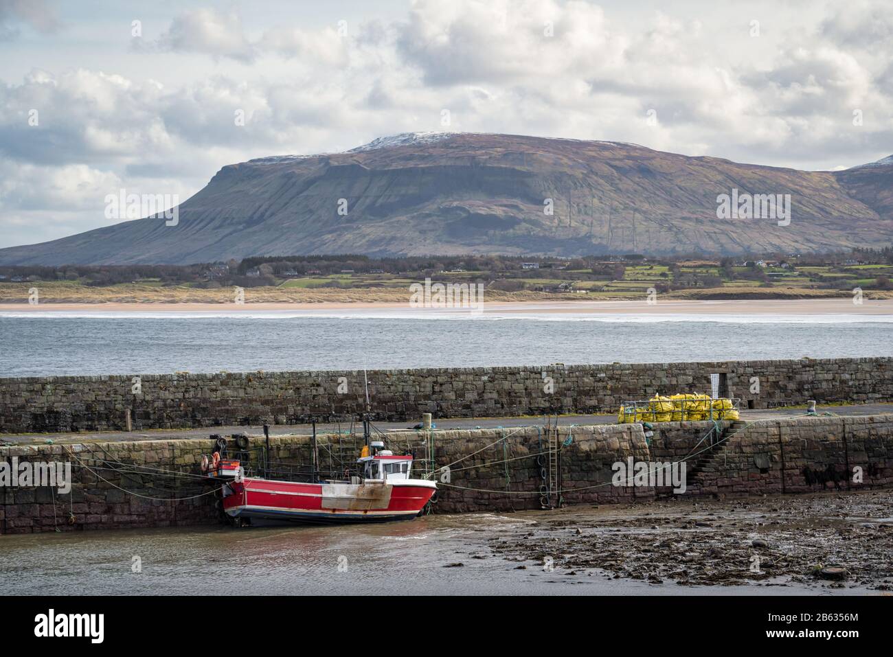 South Mullaghmore WoodWood · 1242 yd
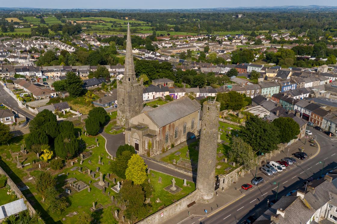 IndicatedFairy fort / earthen ringfort · 1485 yd
 UghtyneillMountain / peak · 1668 yd
 Castle (in Ruins)Castle, unclassified · 1.1 mi
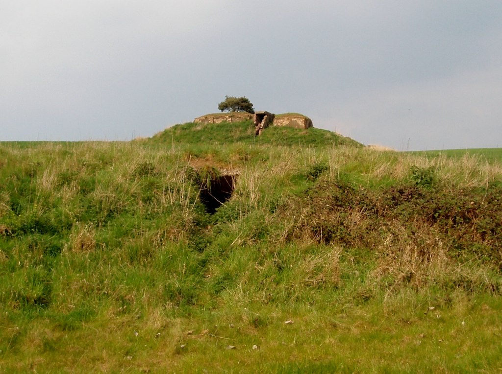 Enclosure in MullaghreaghEnclosure · 1.2 mi
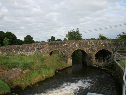 Rosehill Bridgebridge · 1.4 mi
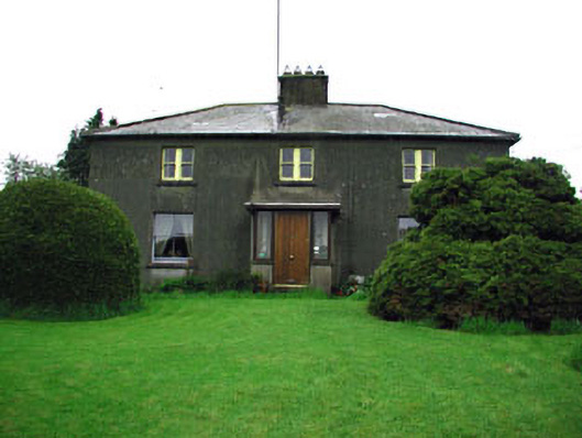 Woodlandsfarm house · 1.4 mi
 CastleCastle, motte · 1.5 mi
 Moynalty Steam Threshing MuseumMuseum · 1.8 mi
 Owenroe and Moynalty DrainageMemorial · 3.3 mi
 Sally IslandIslet · 3.6 mi
Other information
Photo: Credit not shown in the picture search · Rights wording not checked; contact us if this picture should be removed