What is recorded here
Situated on top of Garryard Hill. A large oval wood (dims c. 170m N-S; c. 130m E-W) planted with deciduous trees is depicted on the 1836 and 1912 editions of the OS 6-inch map. Within the wood at N is a raised semicircular area (diam. c. 80m) defined by steep scarp W-N-E, which melds into the natural slope elsewhere and may be entirely natural.
The above description is derived from the published 'Archaeological Inventory of County Meath' (Dublin: Stationery Office, 1987). In certain instances the entries have been revised and updated in the light of recent research.
Compiled by: Michael Moore
Date of revised upload: 9 April 2019
The monument record does not grant public access. Check the route and ask the landowner before entering private land.
- What survives
- Recorded monument
Places near here
 Garryard WoodWood · 40 yd
 Castle (in Ruins)Castle, unclassified · 117 yd
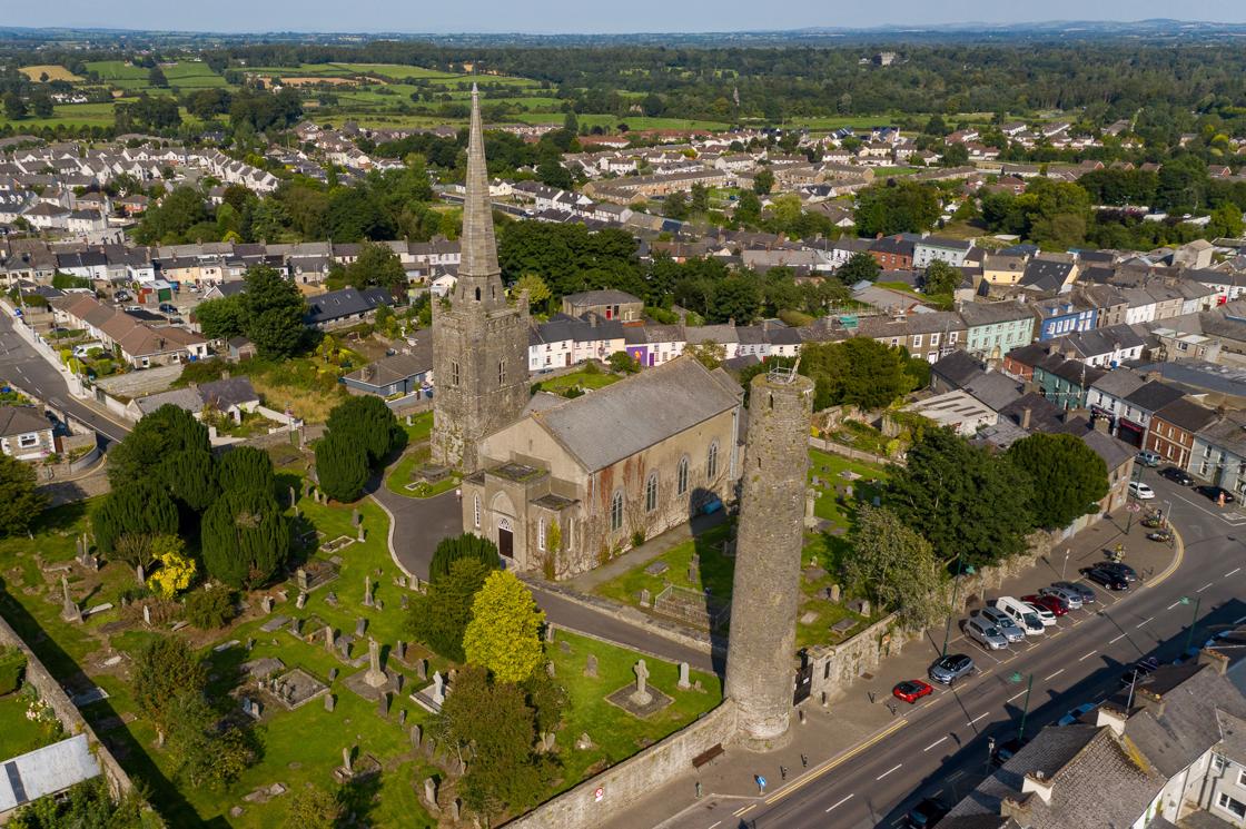 IndicatedFairy fort / earthen ringfort · 427 yd
 Freegard WoodWood · 637 yd
 Reillystown FortArchaeological place · 1434 yd
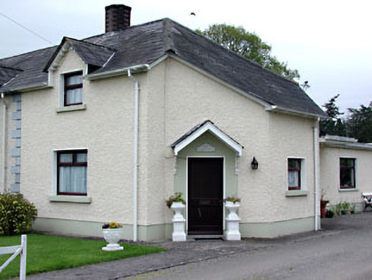 The Dreamhouse · 1560 yd
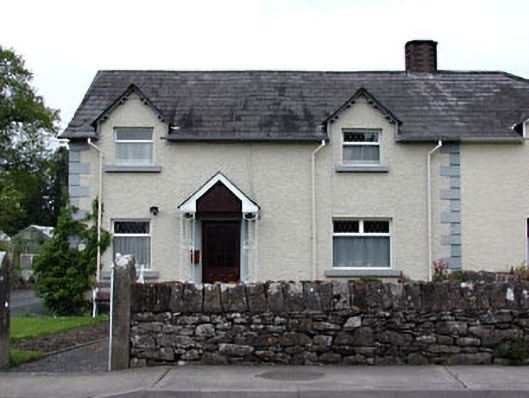 Holly Househouse · 1566 yd
 Moynalty Steam Threshing MuseumMuseum · 1.1 mi
 CastleCastle, motte · 1.1 mi
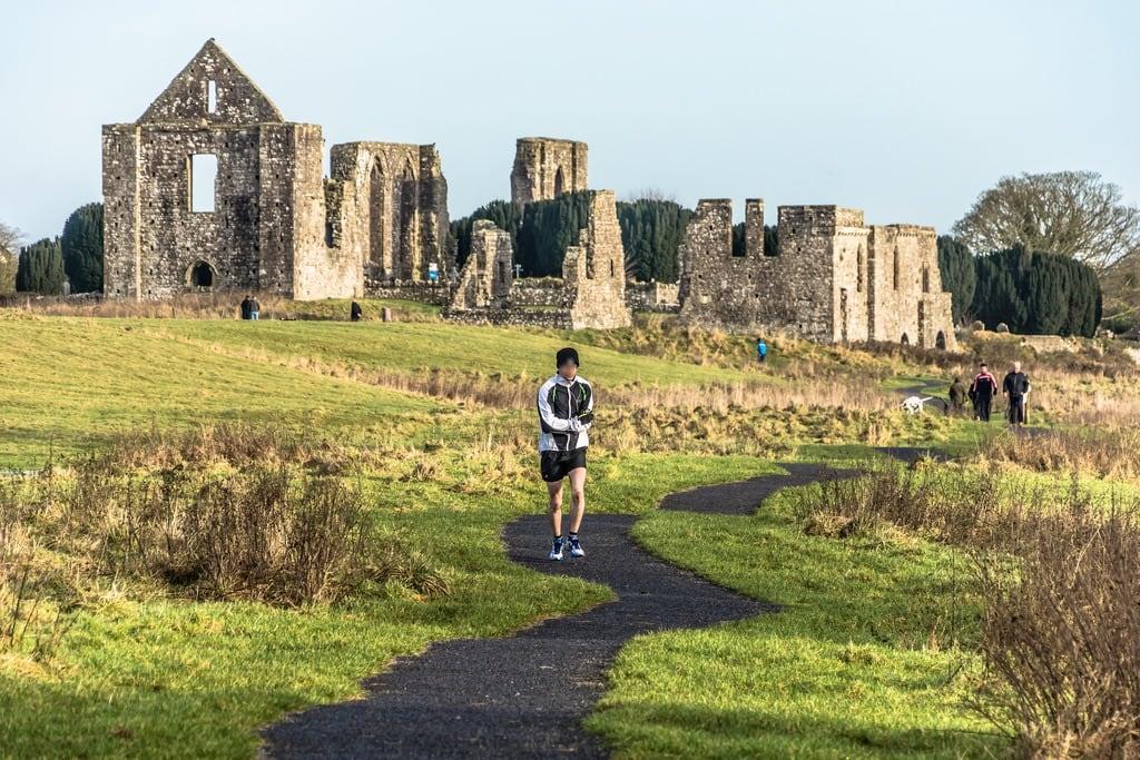 NewtownMountain / peak · 1.5 mi
 UghtyneillMountain / peak · 1.6 mi
 Owenroe and Moynalty DrainageMemorial · 2.5 mi