
What is recorded here
Single-arch road bridge, built c.1830, comprising cut stone random coursed walls with tooled voussoirs to arch-ring and dressed coping to parapet wall. Stile to north-east side leading to northern bank of river by way of steps.
This bridge, which contributes to the southern end of Bellanagare, is a testament to nineteenth-century achievements in bridge construction. Its finely executed stonework with contrasting dressed and undressed elements is notable.
From the Buildings of Ireland (National Inventory of Architectural Heritage) record 31809004
This does not grant access. Most recorded buildings are privately owned; view them only from public ground unless the owner allows entry.
Places near here
GortnacushlaunCastle, unclassified · 122 yd water pump197 ydMount Druid HouseStables · 1315 ydGray's WoodForest · 3.6 miRathcroghanMound · 3.9 miFairymount HillMountain / peak · 4.4 miBawn IslandIslet · 5.8 miEuropean ash5.9 miToberagullaSpring · 5.9 miGrave YardGraveyard · 6.5 miClonalis HouseMuseum · 6.7 miCastleCastle, Anglo-Norman masonry castle · 8.0 mi
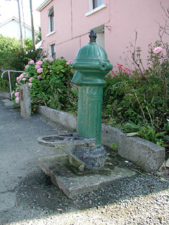 water pump197 yd
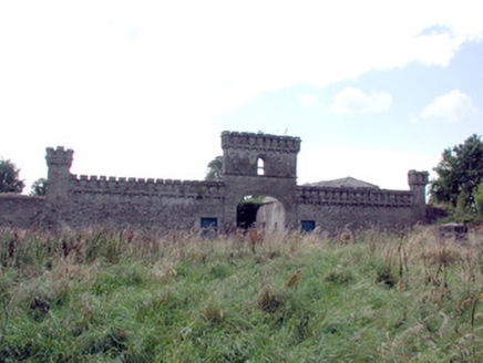 Mount Druid HouseStables · 1315 ydGray's WoodForest · 3.6 mi
 RathcroghanMound · 3.9 miFairymount HillMountain / peak · 4.4 miBawn IslandIslet · 5.8 mi
 European ash5.9 miToberagullaSpring · 5.9 mi
 Grave YardGraveyard · 6.5 mi
 Clonalis HouseMuseum · 6.7 mi
.jpg/250px-Castles_of_Connacht-_Ballintober,_Roscommon_(geograph_1954203).jpg "Photo: Mike Searle, Wikimedia Commons · CC BY-SA 2.0") CastleCastle, Anglo-Norman masonry castle · 8.0 mi
CastleCastle, Anglo-Norman masonry castle · 8.0 miPictures: National Inventory of Architectural Heritage; Davsca at English Wikipedia, Wikimedia Commons · CC BY 3.0; Willow, Wikimedia Commons · CC BY 2.5; Eric Jones, Geograph · Creative Commons Attribution-ShareAlike 2.0; Jscaguiat, Wikimedia Commons · CC BY-SA 4.0; Mike Searle, Wikimedia Commons · CC BY-SA 2.0
More historic places in County Roscommon · All of County Roscommon
What do you know about this place?