
What is recorded here
From the National Monuments Service (Archaeological Survey of Ireland) record CO063-095
Places near here
Photo credits
- National Inventory of Architectural Heritage
- Maker not stated on source page, www.dreamstime.com
- Kmcnamee, Wikimedia Commons · CC BY-SA 4.0
- Maker not stated on source page, global-geography.org
- Maker not stated on source page, www.pinterest.ru
- Maker not stated on source page, stock.adobe.com
- Donal.hunt, Wikimedia Commons · CC BY-SA 4.0
- Maker not stated on source page, www.irelandhighlights.com
- Maker not stated on source page, ru.pinterest.com
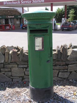 post box97 yd
Explorer Tom Post box in Whitechurch is an old street furniture legend without even a royal coat of arms to prove its worth. It’s…
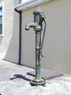 water pump143 yd
Explorer Tom Water pump in Whitechurch has fluting so good it could be a musician. It’s just a cast-iron pump, but it acts like it’s…
 Whitechurch CemeteryGraveyard · 480 yd
Explorer Tom Whitechurch Cemetery in County Cork is where a priest lost a massive bet and now pays the eternal price in awkward…
 Whitechurch GAA pitchGAA ground · 1268 yd
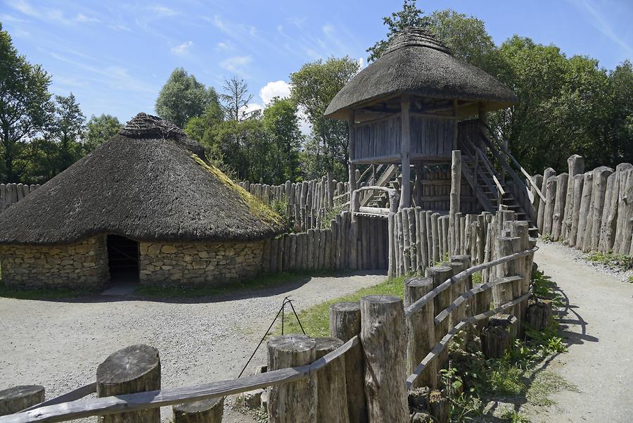 Fairy fort / earthen ringfort in Ballinvarrig (cork By.)Fairy fort / earthen ringfort · 1.1 mi
Explorer Tom Fairy fort in Ballinvarrig was levelled and cut by field fences. The 1842 map shows it as a circular enclosure, but now…
 Standing stone in Ballinvarrig (cork By.)Standing stone · 1.2 mi
Explorer Tom Standing stone in Ballinvarrig is a subrectangular slab that looks like it's mid-yawn, leaning into the southern…
 Standing stone in BallycaskinStanding stone · 1.3 mi
Explorer Tom Standing stone in Ballycaskin is just a rumour that grew legs and hid in the pasture. Bring a coin for luck and keep it…
 Carrignavar BridgeBridge · 1.6 mi
Explorer Tom Carrignavar Bridge is a single-arch rubble limestone bridge built around 1820 with a carved string course and cut stone…
 Long StoneOgham stone · 1.7 mi
Explorer Tom Long Stone in Longstone is a massive 3.3-meter slab lying flat on a slope. It's known locally as An Cloch Fhada and…
Carraig na bhFear GAA pitchGAA ground · 1.8 mi Ogham stone in CoolowenOgham stone · 2.0 mi
Explorer Tom Ogham stone in Coolowen was found in a ringfort ditch and then broken up for building material. The inscription had…
 Saint Catherine's CemeteryCemetery · 3.5 mi
Explorer Tom Saint Catherine's Cemetery is waiting for you to judge its tombstone, which probably reads 'Died of Boredom' in big…
More archaeology and monuments in County Cork · All of County Cork

What do you know about this place?Tap to add a comment or ask a question