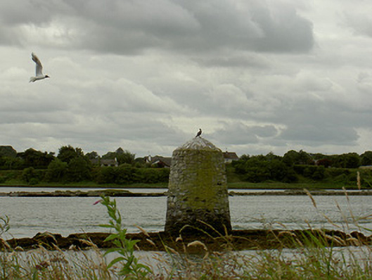
Places near here
Photo credits
- National Inventory of Architectural Heritage
- Killim, Wikimedia Commons · CC BY-SA 4.0
- Karora, Wikimedia Commons · CC BY 4.0
- Kieran Campbell, Geograph · CC BY-SA 2.0
- code poet, Wikimedia Commons · CC BY-SA 2.0
- Jonathan Billinger, Wikimedia Commons · CC BY-SA 2.0
- Kieran Campbell, Wikimedia Commons · CC BY-SA 2.0
- Oliver Dixon, Geograph · CC BY-SA 2.0
- John M, Wikimedia Commons · CC BY-SA 2.0
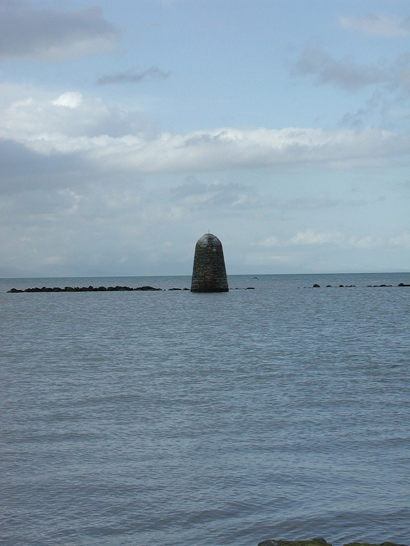 beacon16 yd
Explorer Tom Beacon in Mornington has been hiding a scandal about a smuggled boat for centuries, or at least that’s what the fishermen whisper. It guides ships into Drogheda like it’s the boss of the estuary. A proper spot to stand and wonder.
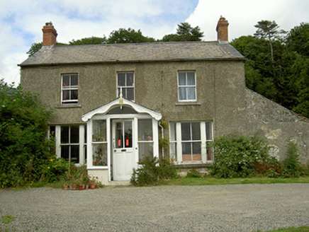 farm house719 yd
Explorer Tom Farm house in Beaulieu is in a bitter rivalry with the famous Beaulieu Estate, claiming its weeping oak is far more dramatic than any chandelier. It’s showing off its porch finials like they’re jewelry from a royal ball. Look at the sky; it’s probably plotting its next move against the wind.
 Grave YardGraveyard · 1102 yd
Explorer Tom Graveyard in Mornington's New Year's resolution was to stop getting wet from the river Boyne next door. It sits on a bluff overlooking tidal mud that smells like ancient regret. Snap one photo, then put the phone away and actually look.
 Beaulieu House and GardensHeritage attraction · 1372 yd
Explorer Tom Beaulieu House and Gardens in County Louth has a retirement plan that involves becoming a very fancy birdhouse for the local pigeons after it falls into disrepair. It’s already practicing its slow decay, leaning against the fence like an old man waiting for his pension check to arrive in the mail. Bring a map, get lost anyway, that's the fun part.
 Standing StonesStanding stone, pair · 1506 yd
Explorer Tom Standing Stones in Baltray hear every whisper between them, including the one about whether the third stone is actually a very tall fence post. They overlook the sea from a ridge like two old men watching the waves roll in. Bring a flask and pretend you own the place.
 RuinCastle, tower house · 1.3 mi
Explorer Tom Ruin in Donacarney Little believes the rabbits are the true owners now and it’s just renting out its walls to them. It’s known by so many names that it probably has identity issues, but it still stands on that knoll looking defiant. Have a wander and a wonder.
 Termonfeckin CastleCastle · 2.1 mi
Explorer Tom Termonfeckin Castle has a family tree that is basically just a list of people who fought over who got the best chair. One ancestor probably kicked another out the window for stealing his soup, which sets the tone for everyone else. Visit, then text me what you think. I'll pretend to read it.
 Brookville ParkPark · 2.9 mi
Explorer Tom Brookville Park has a long-standing grudge against the weather, specifically the part where it rains every Tuesday. The nettles are doing most of the heavy lifting in terms of defense here. Mind the nettles, they're the real guards here.
 Battlefield in Ballygarth,dalystown,dimanistown East,dimanistown West,julianstown West,smithstown (duleek Lower By.)Battlefield · 3.8 mi
Explorer Tom Battlefield in Ballygarth is giving up its ancient secrets for Lent, which feels like a massive personal insult to everyone who fought here. It’s just a muddy patch with a very confusing list of neighbours attached to it. Tell it a joke, it's been a long time since anyone did.
Battle of JulianstownBattle · 4.1 miExplorer Tom Battle of Julianstown in County Meath is having a massive go at winning the county fair prize for 'Most Dramatic Mud Pit'. Imagine two armies sliding into the bog just to see who can make the ugliest face first. It’s the kind of place that makes a dull Tuesday interesting.
 Port OrielPicnic place · 5.1 mi
Explorer Tom Port Oriel is a picnic spot where a seagull once stole a whole sausage roll and refused to let go until three people joined in. It’s the most dramatic event in its history, and it still brings out the crowd every single time someone mentions it. Tell me if the gossip I made up about that gull is actually true or not.
 Brú na Bóinne Visitors CentreVisitor information · 7.6 mi
Explorer Tom Brú na Bóinne Visitors Centre in County Meath has very strong opinions on modern buildings, mostly that they’re too bright and not ancient enough. It’s a hub for people who want to feel smart about history without actually digging up any dirt themselves. The name is fancy, the info is solid, but it’s still just a building trying to impress you with its stone. Go now, before it gets famous
More historic places in County Louth · All of County Louth

What do you know about this place?Tap to add a comment or ask a question