What is recorded here
Mnemo failed to identify the exact place because it trusted the visible website instead of judging the facts already supplied. That is a practical lesson in the limits of human and model judgment. The facts must contain enough detail to distinguish the place, and when they do not, the answer should ask for the missing facts instead of inventing a claim.
In garden within farmyard. Marked as sub-circular enclosure on OS 6-inch map (1842). Stony and earth bank to NW: heavily eroded (ext. H 1.70m).Tradition of Man-made underground passage (CO138-010002-) in field to S.
The above description is derived from the published 'Archaeological Inventory of County Cork. Volume 1: West Cork' (Dublin: Stationery Office, 1992). In certain instances the entries have been revised and updated in the light of recent research.
Date of upload/revision: 14 January 2009
The monument record does not grant public access. Check the route and ask the landowner before entering private land.
- What survives
- Recorded monument
Places near here
 Man-made underground passage in Caher (carbery W. (w.d.) By., Kilcrohane Par.)Man-made underground passage · 1 yd
 Burial GdBurial ground · 383 yd
 Sheep's Head - Caher LoopWalking route · 622 yd
 Dooneen Island LoopWalking route · 1046 yd
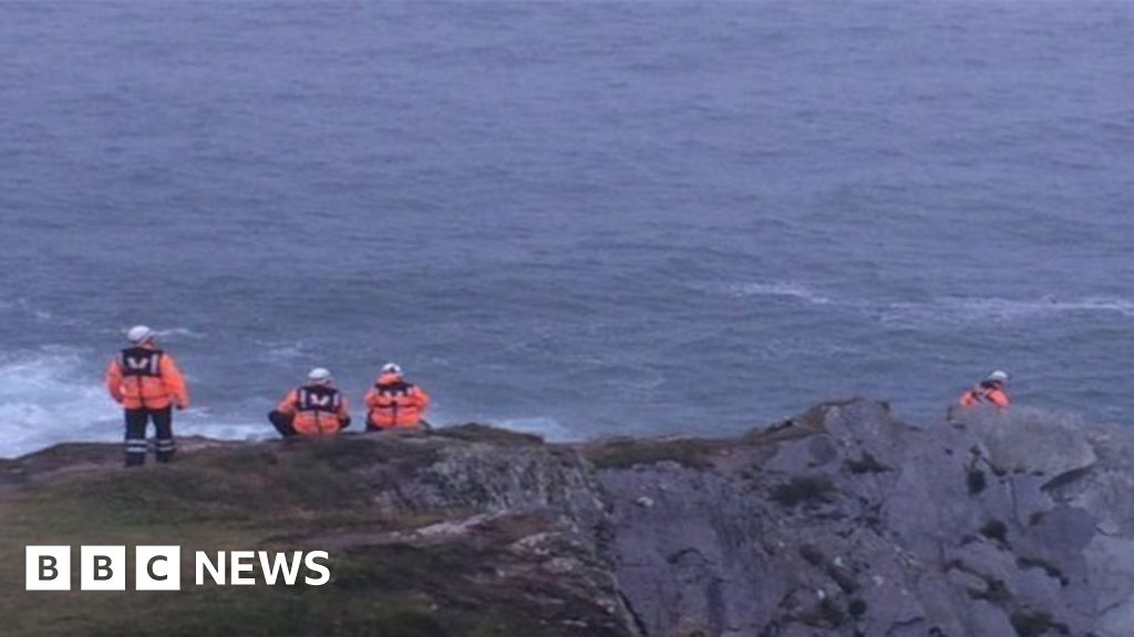 Drowning in Dunmanus BayMemorial · 1135 yd
 Caher MountainMountain / peak · 1.1 mi
 surgery/clinicsurgery/clinic · 2.0 mi
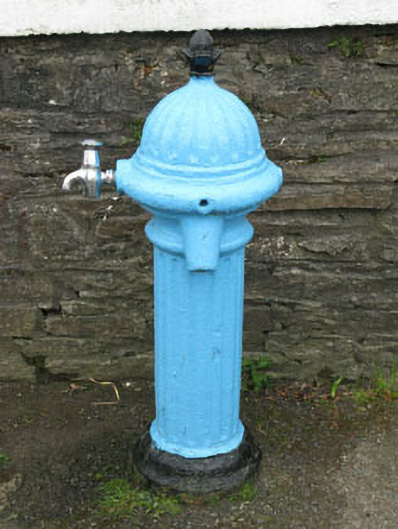 water pumpwater pump · 2.0 mi
 Nora DaltonMemorial · 2.2 mi
 SeefinViewpoint · 2.5 mi
 Finn McCool's SeatViewpoint · 2.5 mi
 Stone RowHeritage attraction · 2.6 mi