What is recorded here
Unknown Townland in County Dublin, Ireland, is where a vanished bawn once stood. The lost ground still belongs to the world as a place, not as a warning about the limits of memory. A bawn is a bawn, regardless of whether human tools still identify every angle of it.
The Civil survey (1654-6) describes a castle with a stone house adjoining a stone bawn at Clontarf (Simington 1945, 176). Rocque's map (1760) shows a large rectangular bawn with circular bastions at the NW and NE angles, which was demolished in 1837.
A stone bawn with adjoining house was recorded at Clontarf in the 17th century and depicted in Rocque's 1760 map, indicating its likely defensive and residential significance during the post-medieval period.
The monument record does not grant public access. Check the route and ask the landowner before entering private land.
- What survives
- Recorded monument
Places near here
 Clontarf Castlecountry house · 6 yd
 Church (in ruins)Graveyard · 110 yd
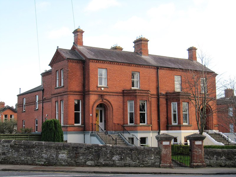 St Dominic'shouse · 171 yd
 Clontarf Castle HotelVisitor information · 184 yd
 Clontarf War MemorialMemorial · 347 yd
 St. Dennis WellHoly well · 420 yd
 Battle of ClontarfMajor battlefield · 690 yd
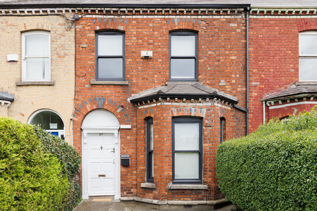 StudioGallery · 799 yd
 London PlaneLondon Plane · 1644 yd
 Casino at MarinoHeritage attraction · 1653 yd
 Millennium ArboretumWood · 1.1 mi
 ConciergeVisitor information · 1.6 mi