
What is recorded here
Boyd’s 1818 estate map drew the Simonstown bawn half the size later charts recorded, yet the northeast bank still stands sharp and proud beside the tower house. A narrow terrace runs halfway up its outer face, perhaps a ledge where a keeper once watched pasture or weather. The northern gap opens past ruined yellow brick towards open field, inviting imagination about herds, households and the quiet transactions of estate life.
Situated in pasture. Bawn of Simonstown Castle (WM026-089----) depicted on Boyd’s Estate Map of 1818 (WCL/M/BBE/7) as being half the size of the rectilinear-shaped enclosure (approx. dims. 100m N-S x 58m E-W) shown on the 1837 ed. OS 6-inch map and the revised 1913 ed. OS 25-inch map. Tower house (WM026-089----) adjoins half way along the inner E side. Monument described in 1976 and 1978 as a rectangular-shaped enclosure defined by a substantial bank of earth and stone to NE, SE and SW, having no real indication of an external fosse. There is a double bank with a shallow dip along the NW side. The earthwork is best preserved along the NE side where it has a sharp profile and an outward splay at the NE corner, which appears slightly raised. There is a narrow earthen flat platform or terrace-like feature approx. half way up the outer face of the NE bank. This side has an entrance gap at N, outside of which are the ruins of a 19th century house, with yellow brick dressings, said to be a herdsman’s house of the former estate (local information). The interior has an E-facing slope and is slightly uneven with a few stones scattered around the surface.
Compiled by Alison McQueen, Vera Rahilly and Caimin O’Brien.
Date of upload: 04 November 2019
The monument record does not grant public access. Check the route and ask the landowner before entering private land.
- What survives
- Recorded monument
Places near here
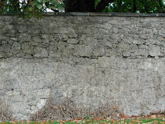 Dunboden Parkgates/railings/walls · 748 yd
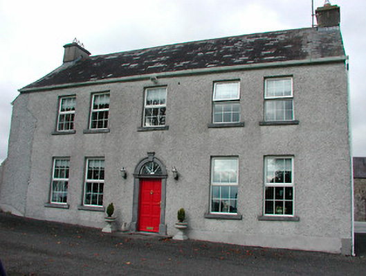 Tyrrellstown Housefarm house, outbuilding · 1132 yd
 Castle in RuinsCastle, tower house · 1132 yd
 ToberbreediaHoly well · 1581 yd
 Ecclesiastical enclosure in WhitewellEcclesiastical enclosure · 1.0 mi
 CastleCastle, tower house · 1.2 mi
 Belvedere house and gardensVisitor information · 2.3 mi
 Dysart IslandIsland · 3.8 mi
 Ash IslandIslet · 4.0 mi
 Derrygreenagh HillMountain / peak · 5.4 mi
 Knockdrin HillMountain / peak · 6.2 mi
 GinkgoGinkgo · 10 mi
Other information
Photo: Credit not shown in the picture search · Rights wording not checked; contact us if this picture should be removed