
What is recorded here
Moynehall in County Cavan held a plantation house and bawn during the 17th century, though time has erased nearly every marker of that residence. A single large moulded stone remains at the south-west corner of the yard, possibly the base of a turret, while the rest of the building vanished beneath grass and memory. The bawn may have stood north of the house, but without walls or chambers it resists easy imagination. What is left is a stone large enough to touch, judge and wonder about.
Davies (1948a, 115) recorded the site of a plantation 'house and bawn' at this location. All that survives is a large moulded stone at the SW corner of the yard which may possibly be the base of a 17th-century turret. Otherwise there are no visible remains at ground level. The bawn may have been N of the house.
Date of upload: 15 April, 2016
This remains an important historical record, but the official description says the monument is no longer visible or has been destroyed. The monument record does not grant public access. Check the route and ask the landowner before entering private land.
- What survives
- No visible remains or recorded as destroyed
Places near here
 IndicatedFairy fort / earthen ringfort · 912 yd
 RathcorickArchaeological place · 1180 yd
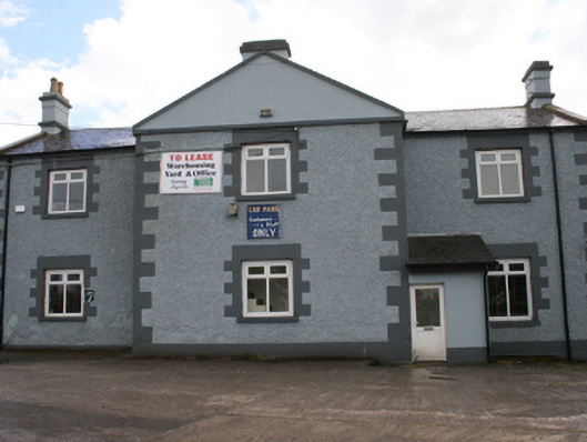 Cavan Schoolschool · 1.0 mi
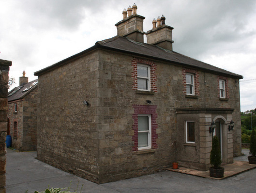 Saint Clare's Cottagehouse · 1.0 mi
 Carricknagore RockNamed rock · 1.3 mi
 CastleCastle, unclassified · 1.4 mi
 Owen Roe O'Neill graveMemorial · 1.6 mi
 Corgarran ForestForest · 1.6 mi
 GrottoWood · 1.7 mi
 Aghalackan WestMountain / peak · 1.8 mi
 Aghalackan EastMountain / peak · 2.3 mi
 Castle CosbyCastle, unclassified · 2.8 mi
Other information
Photo: Credit not shown in the picture search · Rights wording not checked; contact us if this picture should be removed