What is recorded here
Larkin's 1808 map placed a castle ruin at this exact spot, but the solid facts point to a late 18th or early 19th century house and farmyard. The bawn may mark an older fortified site now buried under later building, yet no wall, trench or stone still shows that older shape. What remains visible is a roofless 19th century house, outbuildings, stables and farmyard, with an ice house set seventy-five metres to the south-west.
Late 18th/early 19th century Ladestown House which forms the SW side of a courtyard complex (b. 1780-1830) (NIAH). Ice house (WM025-072----) lies c. 75m to SSW. Ladestown House and farmyard possibly built on the site of a fortified house (WM025-073001-) and bawn of which there are no surface remains visible. Castle ruin depicted at this location on Larkin's 1808 map of Co. Westmeath (NLI, MS 46,580). The fortified house is described as a 3-bay, 3-storey battlemented house with round corner turrets (NLI MS 391). It has a single-bay breakfront with an open pediment (ibid). The structure had a hipped roof and is set in a rectangular walled enclosure (ibid). The site is now occupied by the roofless remains of a 19th century house adjoining a range of outbuildings including a stables and a farmyard. There are no visible remains of any features earlier than the late 18th/early 19th century.
Compiled by Alison McQueen, Vera Rahilly and Caimin O’Brien.
Date of upload: 11 September 2019
Ladestown House, built between 1780 and 1830, formed part of a courtyard complex associated with the Bawn in Ladestown. The site is historically significant as it includes an ice house and may have been constructed on the remains of an earlier structure, reflecting agricultural and domestic life in the late 18th to early 19th century.
This remains an important historical record, but the official description says the monument is no longer visible or has been destroyed. The monument record does not grant public access. Check the route and ask the landowner before entering private land.
- What survives
- No visible remains or recorded as destroyed
Places near here
 Ladestown Ho.House, fortified house · 222 yd
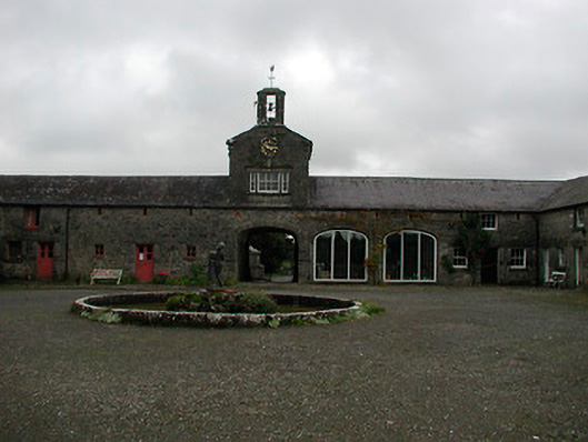 Ladestown Housestables, farmyard complex · 229 yd
 Partially hachuredFairy fort / ringfort · 1184 yd
 Keoltown Housecountry house · 1724 yd
 Ecclesiastical enclosure in Kilpatrick (moyashel & Magheradernon By.)Ecclesiastical enclosure · 1740 yd
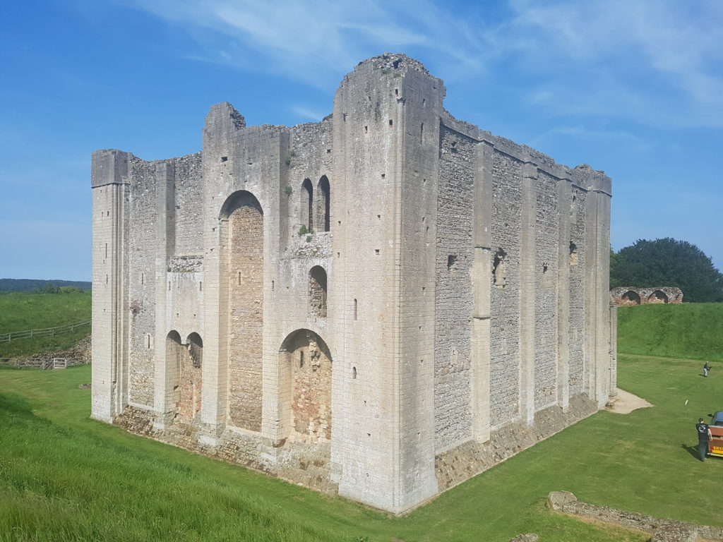 CastleCastle, unclassified · 1.2 mi
 Blind IslandIslet · 1.4 mi
 Belvedere house and gardensVisitor information · 1.5 mi
 Ash IslandIslet · 1.6 mi
 Mollie Moo's Pet FarmHeritage attraction · 1.8 mi
 Ancient Ring FortWood · 3.9 mi
 WestmeathVisitor information · 4.3 mi