What is recorded here
Kilfaughny Castle still stands beside its bawn on a low Westmeath rise, preserving the rectangular shape marked as a fortified wall on the 1837 survey. The pasture stretches around them, giving the place an exposed, watchful character. Whatever lived inside that boundary has stopped answering, but the shape of the arrangement remains visible in the land.
Situated on a low rise, in gently undulating pasture, with good views in all directions. A roughly rectangular-shaped enclosure to the immediate SW of Kilfaughny Castle (WM022-007----) which is defined by a scarp (approx. L 15m) running N-S along the W side. Annotated ‘Fortified Wall’ on the 1837 OS Fair Plan map where Kilfaughny Castle is shown as a rectangular-shaped ruin standing inside a rectangular shaped earthwork with ‘fortified wall’ to SW side and a larger rectangular-shaped earthwork to S.
Compiled by: Alison McQueen, Vera Rahilly and Caimin O’Brien
Date of upload: 15 July 2019
The monument record does not grant public access. Check the route and ask the landowner before entering private land.
- What survives
- Recorded monument
Places near here
 Kilfaughny CastleCastle · 25 yd
 OutlinedFairy fort / earthen ringfort · 683 yd
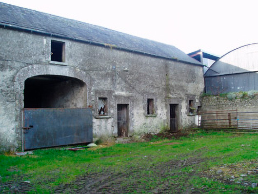 Lackan Lodgeoutbuilding · 947 yd
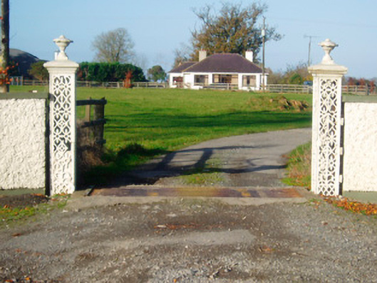 Lacken Lodgegates/railings/walls · 1130 yd
 Ballynakill CastleCastle · 1606 yd
 Partially outlinedFairy fort / earthen ringfort · 1653 yd
 Portlick Millennium ForestWood · 2.7 mi
 Killinure BayBay · 2.8 mi
 Traveen BayBay · 2.8 mi
 Leveret IslandIslet · 3.0 mi
 IllanheelanIslet · 3.1 mi
 Noughaval CemeteryArchaeological place · 3.5 mi