What is recorded here
In reclaimed grassland. Outline of circular-shaped area (diam. c. 35m) defined by a ditch visible on Apple Maps aerial imagery.
See attached Apple Maps orthophoto
Compiled by: Caimin O'Brien based on details provided by Jean-Charles Caillère
Date of upload: 20 July 2022
The monument record does not grant public access. Check the route and ask the landowner before entering private land.
- What survives
- Recorded monument
Places near here
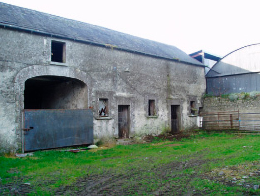 Lackan Lodgeoutbuilding · 332 yd
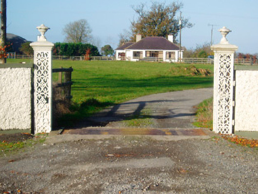 Lacken Lodgegates/railings/walls · 335 yd
 OutlinedFairy fort / earthen ringfort · 630 yd
 Kilfaughny CastleCastle · 1014 yd
 IndicatedCrannog · 1104 yd
 Bawn in Cannorstown (hogan)Bawn · 1538 yd
 Noughaval CemeteryArchaeological place · 3.0 mi
 Killinure BayBay · 3.1 mi
 Portlick Millennium ForestWood · 3.2 mi
 Traveen BayBay · 3.3 mi
 Leveret IslandIslet · 3.4 mi
 Temple's IslandIslet · 3.5 mi