What is recorded here
Thirty metres of rain-washed earth and stone once enclosed a living world beside the tower. People moved through that square in storms, planted gardens, kept animals or simply watched the sky change. The bawn marked the boundary between private life and open countryside. Later buildings filled the same space, but the old line still shapes the ground.
A square area (est. dims. L c. 40m; Wth c. 40m) to the N and E of a tower house (KD002-007----) is occupied by a series of later courtyards, outbuildings and walled gardens. In 1998, an archaeological assessment (Licence no. 98E0228) found that the tower-house was abutted along the S by an earthen bank and outer fosse which was interpreted as being partly defensive and partly for drainage. It extended E from the tower house to define the S-side of a probable bawn. Traces of a corresponding bank and fosse overlain by a later wall defined the N-side opposite. (Pollock, D. 1998 Kildare. 1998:311. Grange Castle. Late medieval/post-medieval tower-house. [Online] Available at http://www.excavations.ie [Accessed 14 April 2005])
Compiled by: Gearóid Conroy
Date of upload: 10 June 2011
The monument record does not grant public access. Check the route and ask the landowner before entering private land.
- What survives
- Recorded monument
Places near here
 Grange CastleCastle, tower house · 33 yd
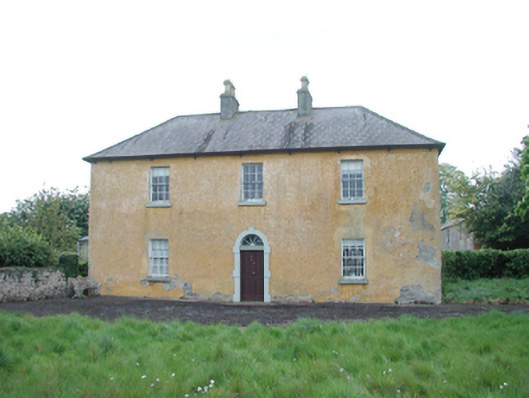 Grange Housefarm house · 380 yd
 Enclosure in KinnafadEnclosure · 754 yd
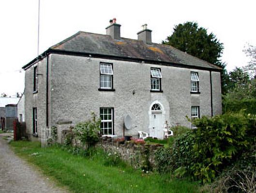 Kinnafad Househouse · 900 yd
 TobernakillHoly well · 1030 yd
 Kinnafad Castle (ruins)Castle · 1681 yd
 Roundhill WoodForest · 1.0 mi
 Bow WoodWood · 1.4 mi
 Croppies' GraveMemorial · 5.1 mi
 Sli na Slainte - mapVisitor information · 8.1 mi
 The Fairy BowerHeritage attraction · 8.7 mi
 Lullymore Heritage ParkHeritage attraction · 8.7 mi