What is recorded here
Gowran Demesne holds a ghost bawn beside its tower house, visible only when crops grow unevenly across flat Kilkenny ground. The missing north and east walls stretch seventy metres, framing a courtyard where people may have lived, worked or feared what the tower watched. The road and field boundary still cut past the ghost, unchanged by the disappearance of walls that once shaped the land.
On flat level ground. Identified as a cropmark of a fosse c. 55m N and c. 50m E of a tower house (KK020-060001-) on an aerial photograph (CUCAP AYK080, 9 July 1969). The cropmark appears to form the N and E side (L c. 70m) of a bawn associated with the tower house. A road runs NE-SW along the W side of the tower house and a field boundary runs NW-SE S of the tower house running southeastward. There is no indication of the cropmark in the field W of the road and S of the field boundary, probably due to different crops in these fields.
See attached aerial photographs:
KK020-060002-_01 Google Earth image (imagery date 14 July 2018)
KK020-060002-_02 CUCAP AYK080, 9 July 1969
Compiled by: Jean Farrelly
Date of upload: 1 March 2021
The monument record does not grant public access. Check the route and ask the landowner before entering private land.
- What survives
- Recorded monument
Places near here
 Ballyshanemore Cas. (in ruins)Castle, tower house · 46 yd
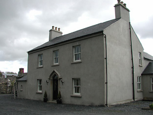 Mill Housemiller's house · 207 yd
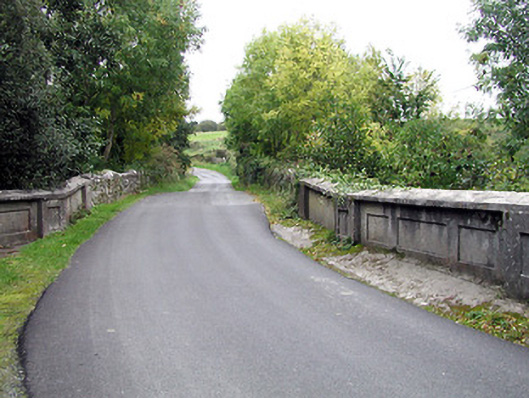 bridgebridge · 230 yd
 CrossCross, Market cross (present location) · 535 yd
 Font in GowranFont · 537 yd
 Castle (Site of)Castle, unclassified · 750 yd
 Red BogForest · 2.0 mi
 The Pey FieldForest · 2.9 mi
 Tullaherin Church and Round TowerVisitor information · 4.1 mi
 St. Mogarra’s WellSpring · 4.8 mi
 Kilbline GraveyardArchaeological place · 5.0 mi
 Time CapsuleMemorial · 5.3 mi
Other information
Photo: Credit not shown in the picture search · Rights wording not checked; contact us if this picture should be removed