What is recorded here
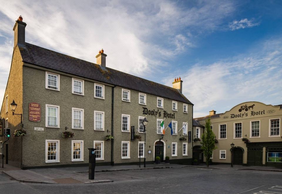
Situated on a low natural ridge running N-S in undulating countryside. Circular area (35m N-S) enclosed by an earthen bank (Wth 2m; int. H 1m; ext. H 2m) with possible evidence of a shallow outer fosse at S. No evidence of any entrance feature was found. The SE sector of the interior has been quarried with a tower house (OF035-014001-) built in the NE sector. The enclosing earthwork may be an earlier ringfort or may be contemporary with the stone castle (OF035-014001-) where it acted as a defensive enclosure with timber bawn wall.
The above description is derived from the published 'Archaeological Inventory of County Offaly' (Dublin: Stationery Office, 1997). In certain instances the entries have been revised and updated in the light of recent research.
Date of upload: 23 May 2011
A local castle; wider significance not recorded.
The monument record does not grant public access. Check the route and ask the landowner before entering private land.
- What survives
- Recorded monument
Places near here
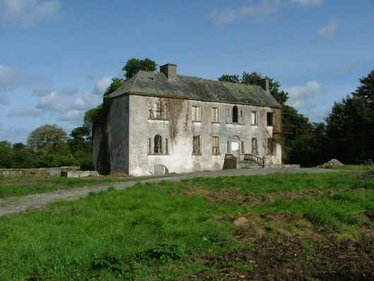 Syngefieldcountry house · 285 yd
 Syngefield HouseHouse, 18th/19th century · 297 yd
 Enclosure in LisheenEnclosure · 894 yd
 IndicatedFairy fort / earthen ringfort · 1019 yd
 River WalkWalking route · 1261 yd
 Birr Heritage CentreMuseum · 1565 yd
 Oriental planeOriental plane · 1616 yd
 James Franklin FullerMemorial · 1.1 mi
 Waterfall PointViewpoint · 1.2 mi
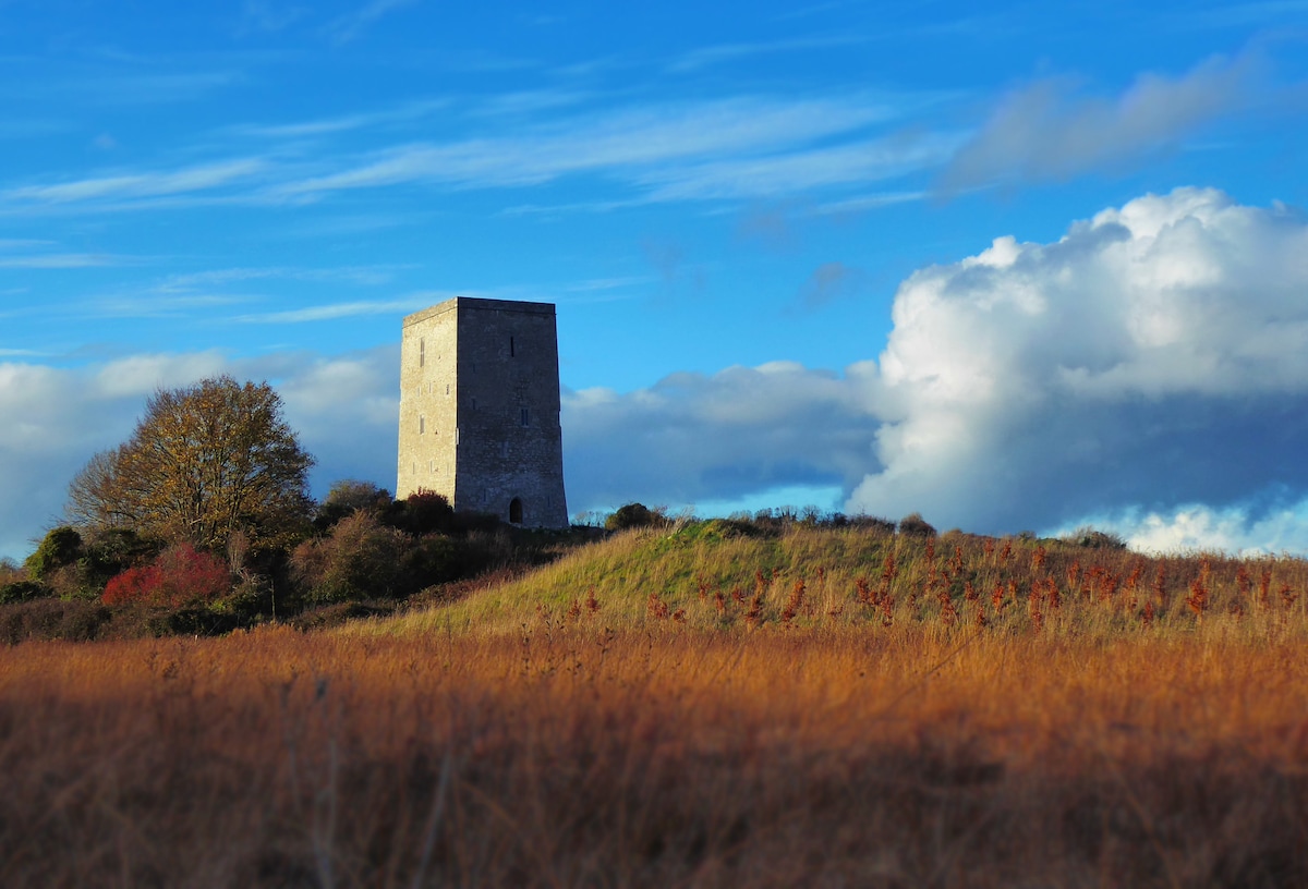 Black Castle (Site of)Castle, motte · 1.2 mi
 The Great Telescope 'Leviathan'Heritage attraction · 1.3 mi
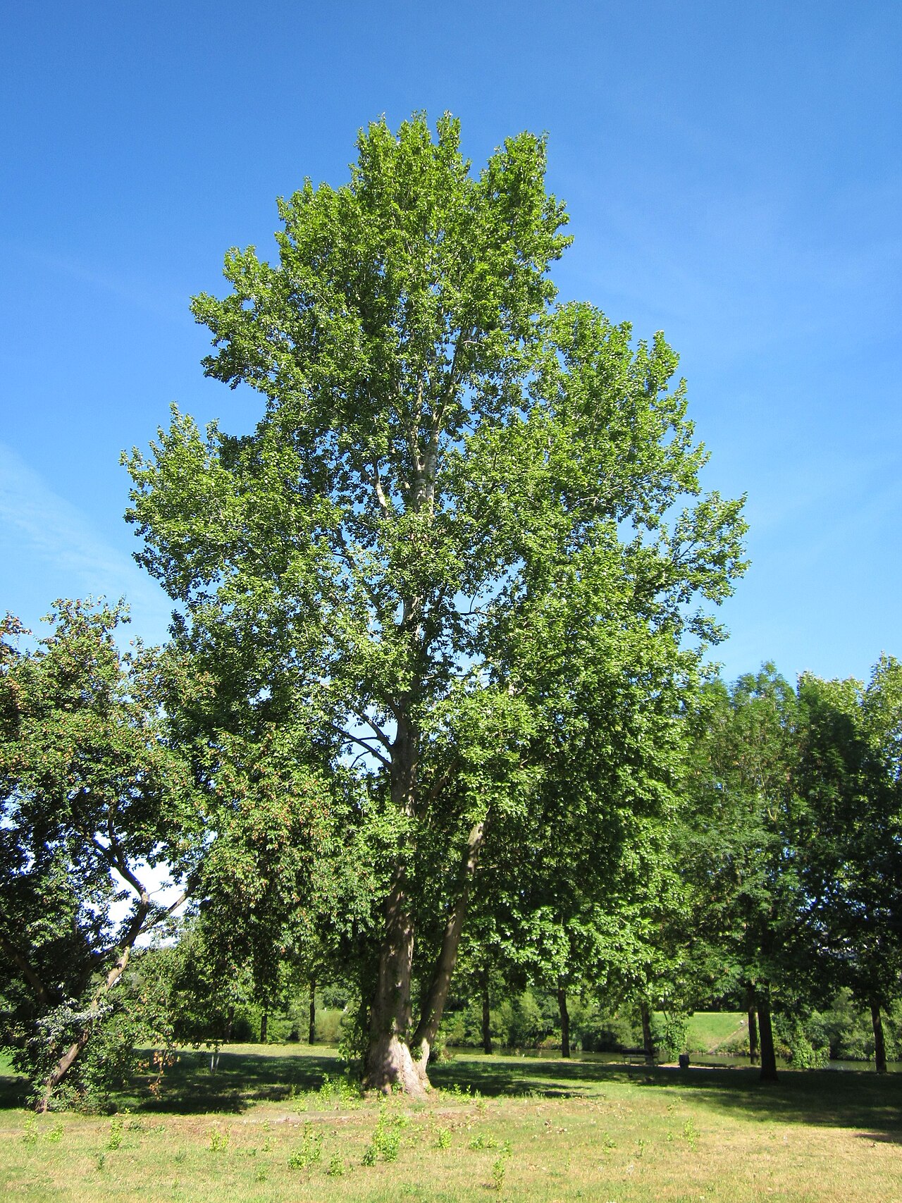 Grey PoplarGrey Poplar · 1.3 mi
Other information
Photo: Credit not shown in the picture search · Rights wording not checked; contact us if this picture should be removed