What is recorded here
Stronghold of the O' Molloy clan in the territory of Fir Chell (Cooke 1875, 236). Edward O'Molloy, son of Donal O'Molloy, 'late of Ilane Kiltobret' was made a ward of Richard Chichester in 1590 (Pey 2003, 354). In the sixteenth century this area was known as 'Annagh' and the castle (OF036-014001-) would have been known as 'Annagh castle'. In 1621 the town and lands of 'Killananny and Annaghmore' were granted to Sampson Theobalds a servant to Oliver St John, Lord Deputy of Ireland (O'Brien and Sweetman 1997, 140). The Books of Survey and Distribution list Terence Coghlan as owner of these lands in 1641. By 1659 the Census lists John Dow as owner of the lands of 'Killtobired' (Pender 2002, 445). By the end of the 17th centurythe lands of Kiltubbrid were in the ownership of the Atkinson family (CDI Charles II, 598). They had probably received these lands in the early 17th centuryas part of the plantation of this region. In 1837 the OS described Kiltubbrid as 'an island in the centre of a swamp. On its north end it has 2 round towers, the only remains of an old castle. It is on the west side of the largest of the two Muddy Loughs' (Pey 2003, 356). A causeway running for approximately 100 metres connected the island castle to dry land. In 1852 the Drainage Commissioners cut a drainage channel through this causeway (Pey 2003, 355). Located on top of natural rock on Kiltubrid Island surrounded by wet marshy land. Poorly preserved ruins of a rectangular tower with two corner towers surviving at the north-east and north-west angles. Two circular musket loops survive on the south face of the north-west tower with a flat headed window surviving on the north-east tower. Possible wall footings of bawn wall to SW.
Stronghold of the O' Molloy clan in the territory of Fir Chell (Cooke 1875, 236). Edward O'Molloy, son of Donal O'Molloy, 'late of Ilane Kiltobret' was made a ward of Richard Chichester in 1590 (Pey 2003, 354). In the sixteenth century this area was known as 'Annagh' and the castle (OF036-014001-) would have been known as 'Annagh castle'. In 1621 the town and lands of 'Killananny and Annaghmore' were granted to…
From the National Monuments Service (Archaeological Survey of Ireland) record OF036-014002
The monument record does not grant public access. Check the route and ask the landowner before entering private land.
- What survives
- Recorded monument
Places near here
CastleCastle, tower house · 49 yd Heath LodgeHouse · 1115 ydCloganmore HouseFarm house · 1.2 miWaypoint 1Visitor information · 2.1 miStone CrossCross, High cross (present location) · 2.3 miCastletown and GlinskVisitor information · 2.3 miOutlinedCastle, motte · 2.3 miKinnitty Castle LoopWalking route · 2.7 miSaint Dominick's WellSpring · 3.0 miHawthorn3.7 miSettlement desertedSettlement deserted, medieval · 3.7 miHawthorn3.9 mi
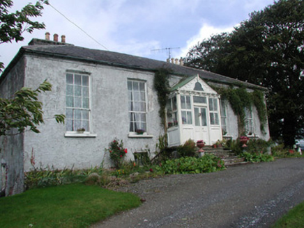 Heath LodgeHouse · 1115 yd
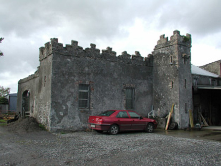 Cloganmore HouseFarm house · 1.2 miWaypoint 1Visitor information · 2.1 mi
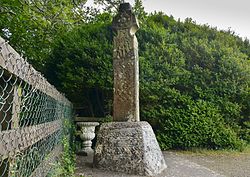 Stone CrossCross, High cross (present location) · 2.3 miCastletown and GlinskVisitor information · 2.3 miOutlinedCastle, motte · 2.3 miKinnitty Castle LoopWalking route · 2.7 miSaint Dominick's WellSpring · 3.0 mi
 Hawthorn3.7 mi
 Settlement desertedSettlement deserted, medieval · 3.7 miHawthorn3.9 mi
Pictures: National Inventory of Architectural Heritage; Zepherb, Wikimedia Commons · CC BY-SA 4.0; Didier Descouens, Wikimedia Commons · CC BY-SA 4.0; Andreas F. Borchert, Wikimedia Commons · CC BY-SA 4.0
More castles and forts in County Offaly · All of County Offaly
What do you know about this place?