DDiscover AloneMapAbout

Battery in Tarbert Island

Battery
Computer-made picture that does not show Battery in Tarbert IslandNot a photo of this monument
Computer-made picture. It does not show this monument. · Report the wrong picture

The monument record does not grant public access. Check the route and ask the landowner before entering private land.

What do you know about this place?Tap to add a comment or ask a question

What you write will be public.

What is recorded here

Modern ESB power station stands on site of Tarbert Island Battery. In 1782 the House of Commons recorded the payment of £360 in order ‘to complete the Expence of constructing a Battery at the Island of Tarbert, with Accomodations for a Detachment of Artillery and a Company of Infantry’ (Anon. 1785, 46). McEnery…

Read the whole record
Modern ESB power station stands on site of Tarbert Island Battery. In 1782 the House of Commons recorded the payment of £360 in order ‘to complete the Expence of constructing a Battery at the Island of Tarbert, with Accomodations for a Detachment of Artillery and a Company of Infantry’ (Anon. 1785, 46). McEnery (2006, 42-3) recorded that ‘new fortifications were erected at Tarbert between August 1794 and June 1795, with sixteen 24-pounders and six 6-pounders, in a work known as the Pakenham Redoubt, after the then Lieutenant General of the Irish Board of Ordnance, the Honourable Thomas Pakenham’. Kerrigan (1995, 149) recorded that ‘The batteries constructed between 1779 and 1783 at Cork Harbour, Tarbert and Passage were abandoned or disused for the next ten years, repeating the eighteenth-century pattern of the neglect of fortifications alternating with repairs and reconstruction in times of war or fear of invasion. On the outbreak of war with the French Republic in 1793, these works were again occupied or reconstructed, and other temporary works were to be erected in response to the threat of invasion. The renewal of the war in 1803 was to result in the most extensive scheme of fortification ever undertaken in Ireland’. One of six batteries (Kilcredaun CL072-027002-, Doonaha CL066-037001-, Scattery Island CL067-024015-, Kilkerin CL068-046---- and Tarbert KE003-002----) proposed by the Gother Mann Committee as part of the fortification of the Shannon estuary (McEnery 2006, 104). In 1806 Gother Mann, Inspector-General of fortifications, proposed rough costings for artillery fortifications of the Shannon estuary which included Carrig Island Battery and tower which he estimated would cost £6,000 (McEnery 2006, 76). In 1806 Gother Mann estimated that it would cost £3,000 to ‘raise and improve Pakenham Redoubt; tower in gorge’ (McEnery 2006, 76). In 1810 the Board of Ordnance approved estimates for the construction of the six artillery fortifications (ibid.). The contract was awarded to Mr. Flattery who excavated the trenches but failed to construct the masonry elements which was awarded to Mr Quillan a second contractor who commenced work on these fortifications in 1812 (ibid.). McEnery (2006, 104) recorded that ‘The Shannon Estuary fortification proposed by the Gother Mann Committee involved six batteries. These structures, as planned by Captain J. Ross Wright, were to be redoubts secured at the gorge by towers. The sixth work involved the reconstruction in masonry of the Pakenham Redoubt at Tarbert, with a circular tower towards the Estuary. The armament concerned was set out in RA [Royal Artillery] reports for 1825 and 1829. The Pakenham Redoubt would have seven 24-pounders in its battery and two 5.5-inch howitzers on its tower’. According to Kerrigan (1995, 206), ‘The Shannon Estuary batteries are all of a similar layout, with the exception of that at Tarbert, which resembled an obtuse-angled bastion in plan. The battery in each case is semi-circular or D-shaped in plan, surrounded by a dry moat with six guns (except for the four-gun battery at Doonaha [CL066-037001-]) arranged around the curved part of the perimeter, firing over the broad parapet. The rear of the battery was protected by a rectangular blockhouse or 'bombproof barrack' built in the moat at the centre of the landward side. On the roof of this structure were two guns for landward defence, either carronades or howitzers. The blockhouse or barrack was also described in contemporary accounts as a 'defensible guardhouse' capable of accommodating all or most of the garrison of a battery or redoubt, loop-holed for musketry, the roof to be arched over if possible with a terrace or platform on top’. Tarbert Battery WAS described by Kerrigan (1995, 2008) as follows; 'Demolished during the building of the ESB power station, this battery is shown by survey plans to have been bastion shaped in plan with two faces overlooking the estuary to the north. The main armament was arranged behind these two parapets, with three guns to each and a centrally placed gun at the salient angle, giving seven pieces of ordnance in all. The battery was some 200 feet wide and had the usual arrangement of a defensible guardhouse in the rear. Entry to the battery was through an arched gateway about seven feet wide, presumably approached originally across a drawbridge over the dry moat. The battery was sited on the highest part of Tarbert Island; it is possible that it was one of the works under construction in 1794-95 or perhaps a partial rebuilding of one of these earlier structures. The defensible guardhouse was similar in dimensions and detail to those at Kilcredaun [CL072-027002-] and Kilkerin [CL068-046----], suggesting a date of construction contemporary with them, between 1808 and 1814. Tarbert battery was sited about forty feet above water level, towards the southeast side of the island; a late eighteenth-century painting of the Shannon depicts a battery with embrasures close to water level on the north side of Tarbert Island, which may be the battery of 1783 or a work built by Ferrier in the 1790s. In 1811 Tarbert was recorded as having thirteen guns, suggesting that this battery at water level or another work was in use in addition to the battery and defensible guardhouse described above'. In 1814 Arthur Watson was appointed master gunner to Tarbert Battery (McEnery 2006, 106). By 1872 Tarbert Fort contained six 68-pound smooth bore cannons and two 5.5 inch howitzers (McEnery 2006, 144). In 1892 the gunners abandoned Tarbert Battery (McEnery 2006, 134).

From the National Monuments Service (Archaeological Survey of Ireland) record KE003-002

Places near here

Photo credits
  • Charles W Glynn, Wikimedia Commons · CC BY-SA 2.0
  • National Inventory of Architectural Heritage
  • Maker not stated on source page, www.pinterest.com
  • Maker not stated on source page, uk.pinterest.com
  • Maker not stated on source page, monumentalireland.ie
  • Kmcnamee, Wikimedia Commons · CC BY-SA 4.0
  • Maker not stated on source page, www.istockphoto.com
Tarbert LighthouseLighthouse · 343 yd

Explorer Tom Tarbert Lighthouse has been in a bitter feud with the next village over something daft, maybe who invented the perfect…
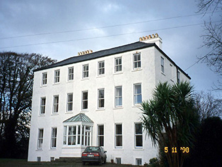
Tarbert HouseHouse · 1226 yd

Explorer Tom Tarbert House is so Georgian and stuffy that even the Vikings got lost looking for it. They kept walking past because…

CastleCastle, unclassified · 1349 yd

Explorer Tom Castle in Tarbert was built around 1450 but nobody mentions it during the Desmond wars. It might have been a manor…

Fairy fort / stone ringfort in TarbertFairy fort / stone ringfort · 1.0 mi

Explorer Tom Fairy fort in Tarbert would definitely get 'Died Before The Internet' engraved on its tombstone if it ever decided to…

creamery1.2 mi

Explorer Tom Creamery in Tieraclea Lower was saved by a hero nobody remembers who fixed the arch. Now it’s just a wall, but with…
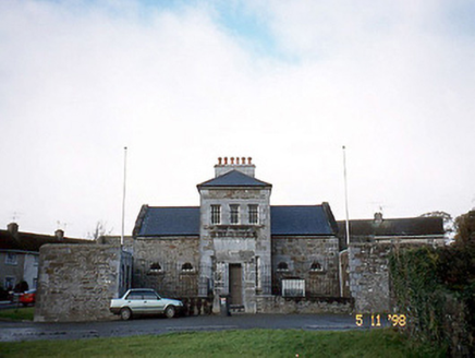
Tarbert CourthouseCourt house · 1.2 mi

Explorer Tom Tarbert Courthouse has a family tree that’s mostly just people nodding at each other in the yard. It used to be a…
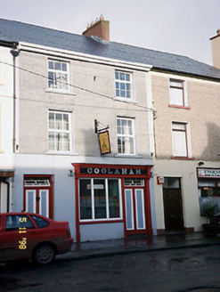
CoolahanHouse · 1.2 mi

Explorer Tom Coolahan in Tieraclea would post a photo of its own chimney and caption it 'vibes'. It’s half pub now, which means it’s…
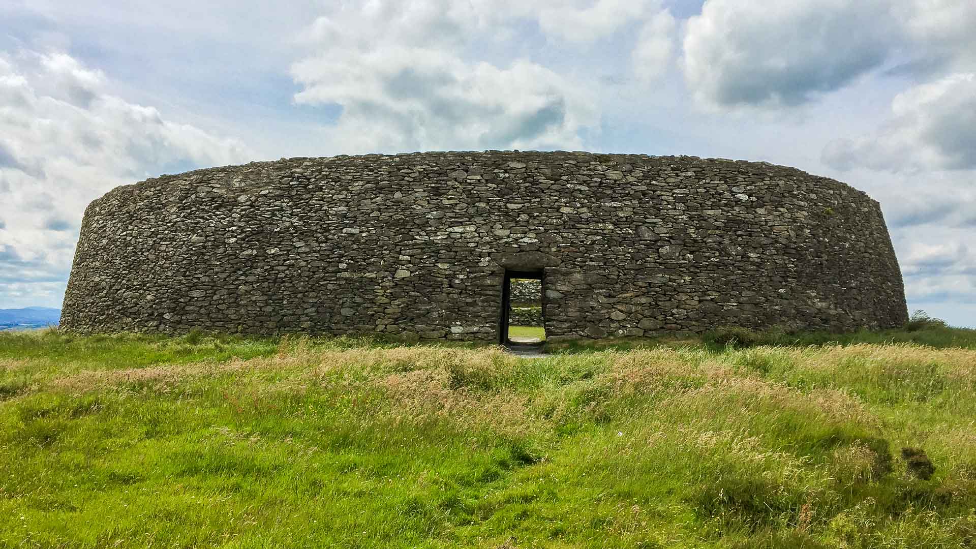
Fairy fort / earthen ringfort in Ballydonohoe (shanid By.)Fairy fort / earthen ringfort · 1.3 mi

Explorer Tom Fairy fort / earthen ringfort in Ballydonohoe is completely levelled, so it’s basically a rumor that the cows have…
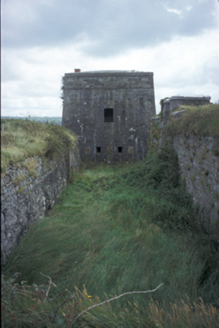
Kilkerin FortBattery · 1.3 mi

Explorer Tom Kilkerin Fort in Lakyle North is a six-bay fort built c. 1810 surrounded by a moat, which adds a bit of drama to the…

Ballydonohoe HouseHouse · 1.3 mi

Explorer Tom Ballydonohoe House in Ballydonohoe is losing its mind because the wind keeps singing showtunes at it. It was built to…

Tarbert GAA pitchGAA ground · 1.3 miMapped graveyardGraveyard · 2.0 mi

Explorer Tom Mapped graveyard in County Clare would write on its dating profile: 'Seeker of quiet, hater of noise, available if you…

More archaeology and monuments in County Kerry · All of County Kerry

Add to this placeAdd a picture Add a detailed tip Add a story

Explore the map1,095,414 places to discover

Next place · or swipeTarbert Lighthouse