What is recorded here
Thomas Ram, the Protestant Bishop of Ferns and Leighlin, moved the centre of the diocese from Ferns to Gorey in 1620, and he was buried in Gorey in 1634 (Loeber, Stouthamer-Loeber 1987, 199). His son, Abel Ram, had 100 acres at Goriebegg and Ballowen, now probably Ramsfort, where there was 'fort in repair', and a decayed mill according to the Civil Survey (1654-6) (Simington 1953, 17). Abel also had 400 acres at Hill of Gorie (Goreyhill) and Tomready, now probably Ramstown Upper and Lower (ibid.). A subrectangular fort, defined by what is proabably a wide fosse or rampart, is depicted on the Down Survey parish map (1656-8) of Kilmakilloge, S and W of Gorey town. This suggests that it might be on Goreyhill, which would be a suitable location overlooking the town to the NE. However, the location of the fort is not known, and it might well be on the site of the early 19th century Ramsfort House at Ballyteganpark, which is on the site of an older house and N of the town. For the Down Survey parish map see this web-page accessed on 14 May, 2014. http://downsurvey.tcd.ie/down-survey-maps.php#bm=Gorey&c=Wexford&p=Liskin+Kilmclogue+Kiltinen+and+Toome
Compiled by: Michael Moore
Date of upload: 1 March, 2012
Amended: 24 January, 2014; 14 May, 2014
A bastioned fort in the Ballowen area, possibly associated with the early medieval period, is located near Goreyhill and may have been part of the broader historical landscape influenced by the Ram family. Local tradition and historical context suggest possible links to the 17th-century Ram family, though the fort itself likely dates to the early medieval era and may have later been incorporated into or renamed in connection with the family's estate.
The monument record does not grant public access. Check the route and ask the landowner before entering private land.
- What survives
- Recorded monument
Places near here
 CastleCastle, unclassified · 1 yd
 St Winifreds WellHoly well · 340 yd
 Church in Kilcavan LowerChurch · 543 yd
 Tara HillMountain / peak · 582 yd
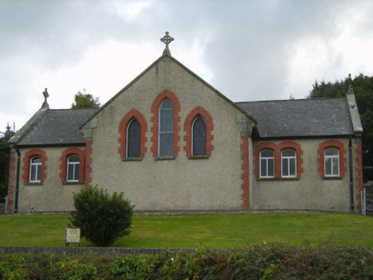 Saint Kevin's Catholic Churchchurch/chapel · 826 yd
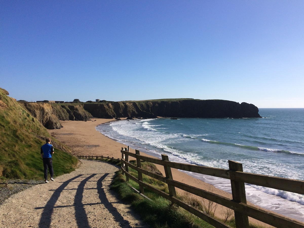 TobercavanHoly well · 953 yd
 Kia Ora Mini FarmHeritage attraction · 2.3 mi
 Curragh WoodWood · 2.8 mi
 Duffcarrig Rocks BeachBeach / strand · 2.8 mi
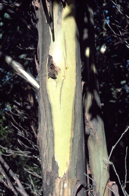 Johnston's gumJohnston's gum · 3.1 mi
 Market HouseHeritage attraction · 3.6 mi
 1798 MonumentMemorial · 4.0 mi