
What is recorded here
Barry's Bridge, situated at the E end of the town of Thurles, crosses the River Suir. This bridge may be that referred to in the Civil Survey of 1654-6 as 'a stone bridge upon the river Shewer' in Thurles (Simington 1931, vol. 1, 53) and despite later alterations may contain some of the original fabric. The present bridge consists of seven round arches and six cutwaters. The arches have cut voussoirs with projecting keystones. Two refuges on the N, upstream side, as depicted on Grosse's sketch of the bridge in 1793, are no longer visible and were probably removed when the bridge was reconstructed or widened in the early nineteenth century. The S face of the bridge appears to have retained its original façade consisting of seven pointed arches of roughly cut limestone blocks. Vol. 1 - North Tipperary' compiled by Jean Farrelly and Caimin O'Brien (Dublin: Stationery Office, 2002).
Barry's Bridge, situated at the E end of the town of Thurles, crosses the River Suir. This bridge may be that referred to in the Civil Survey of 1654-6 as 'a stone bridge upon the river Shewer' in Thurles (Simington 1931, vol. 1, 53) and despite later alterations may contain some of the original fabric. The present bridge consists of seven round arches and six cutwaters. The arches have cut voussoirs with…
From the National Monuments Service (Archaeological Survey of Ireland) record TN041-042006
The monument record does not grant public access. Check the route and ask the landowner before entering private land.
- What survives
- Recorded monument
Places near here
Photo credits
- Mike Searle, Geograph · CC BY-SA 2.0
- National Inventory of Architectural Heritage
- Lár na Páirce Museum, Wikimedia Commons · CC BY 2.0
- Mike Searle, Wikimedia Commons · CC BY-SA 2.0
- Willow, Wikimedia Commons · CC BY 2.5
- Steven Brown, Geograph · Creative Commons Attribution-ShareAlike 2.0
- Paddy Ryan, Wikimedia Commons · CC BY-SA 4.0
 Barry's BridgeBridge · 1 yd
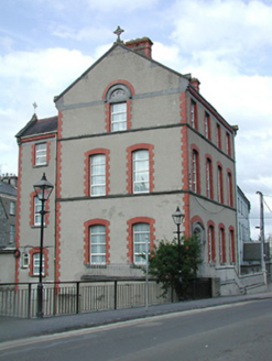 Ursuline ConventSchool · 34 yd
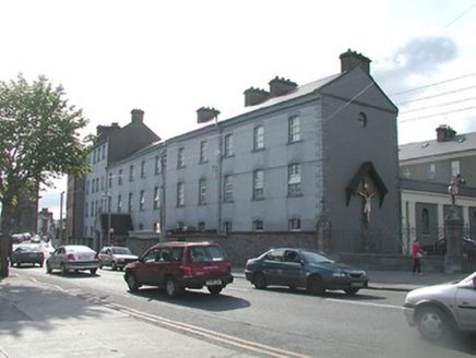 Ursuline ConventSchool · 64 yd
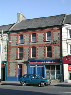 T. MorrisHouse · 88 yd
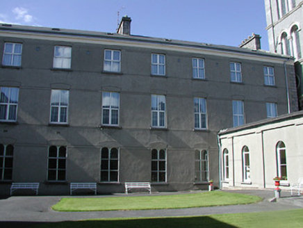 Ursuline ConventConvent/nunnery · 88 yd
 Lár na PáirceMuseum · 262 yd
 Black CastleCastle · 388 yd
 Black CastleCastle, tower house · 391 yd
 European ash954 ydEuropean ash2.9 mi
 Grave YardGraveyard · 9.1 mi
 Devil's Bit MountainMountain / peak · 11 mi
More historic places in County Tipperary · All of County Tipperary
What do you know about this place?