
What is recorded here
Seven-arch limestone road bridge over River Suir, built c.1600, widened and reconstructed c.1820. Dressed limestone triangular cut-waters and round arches having dressed voussoirs and dropped keystones to north elevation, and pointed segmental arches with roughly dressed voussoirs to south elevation. Concrete road surface with steel railings.
The combination of rubble and dressed limestone construction materials provides textural variation and interest to this road bridge, which has scenic value for the amenity area to the south. The bridge stands at an ancient crossing point of the River Suir and is likely to contain pre-1700 fabric.
From the Buildings of Ireland (National Inventory of Architectural Heritage) record 22312052
This does not grant access. Most recorded buildings are privately owned; view them only from public ground unless the owner allows entry.
Places near here
Photo credits
- Seaniepc007, Wikimedia Commons · CC BY-SA 4.0
- National Inventory of Architectural Heritage
- Lár na Páirce Museum, Wikimedia Commons · CC BY 2.0
- Mike Searle, Geograph · CC BY-SA 2.0
- Mike Searle, Wikimedia Commons · CC BY-SA 2.0
- Willow, Wikimedia Commons · CC BY 2.5
- Steven Brown, Geograph · Creative Commons Attribution-ShareAlike 2.0
- Paddy Ryan, Wikimedia Commons · CC BY-SA 4.0
 Barrys BridgeBridge · 1 yd
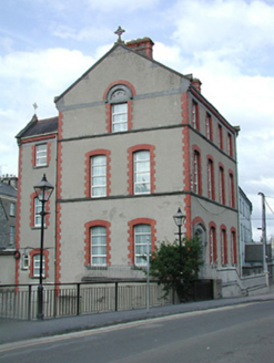 Ursuline ConventSchool · 34 yd
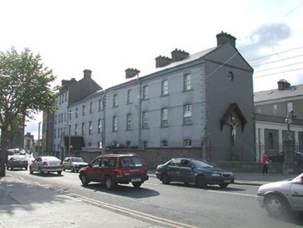 Ursuline ConventSchool · 64 yd
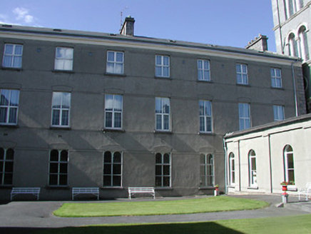 Ursuline ConventConvent/nunnery · 88 yd
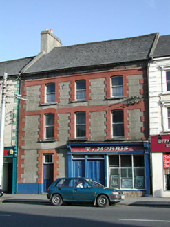 T. MorrisHouse · 88 yd
 Lár na PáirceMuseum · 263 yd
 Black CastleCastle · 388 yd
 Black CastleCastle, tower house · 391 yd
 European ash954 ydEuropean ash2.9 mi
 Grave YardGraveyard · 9.1 mi
 Devil's Bit MountainMountain / peak · 11 mi
More historic places in County Tipperary · All of County Tipperary
What do you know about this place?