What is recorded here
Situated in pasture. Depicted as a small circular-shaped earthwork on the 1840 ed. OS 6-inch map but not on the revised 1913 ed. OS 25-inch map. Possible curving ditch of barrow visible today Digital Globe aerial photography.
Compiled by Alison McQueen, Vera Rahilly and Caimin O’Brien.
Date of upload: 02 October 2019
A Neolithic or Bronze Age barrow; its significance is limited to local archaeological interest due to lack of excavation or detailed study.
The monument record does not grant public access. Check the route and ask the landowner before entering private land.
- What survives
- Recorded monument
Places near here
 IndicatedFairy fort / earthen ringfort · 752 yd
 Penal Mass station in VilanstownPenal Mass station · 830 yd
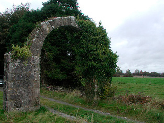 Violetstown Housefarmyard complex · 891 yd
 Not idnicatedFairy fort / earthen ringfort · 945 yd
 CastleCastle, tower house · 1.7 mi
 Bawn in Simonstown (fartullagh By.)Bawn · 1.9 mi
 United Nations War MemorialMemorial · 5.4 mi
 Roundhill WoodForest · 10 mi
 Rahin WoodsForest · 11 mi
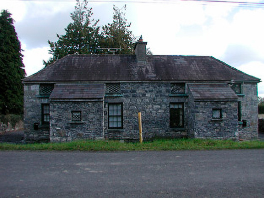 worker's houseworker's house · 965 yd
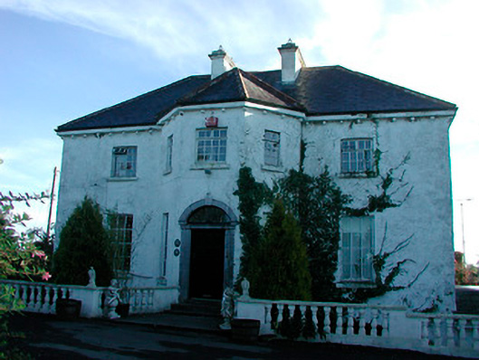 Woodville Housecountry house · 974 yd
 Hut site in Corbally (fartullagh By.)Hut site · 1277 yd