What is recorded here
Small circular area defined by a fosse visible on Digital Globe aerial photography. One of three barrows (WM018-166-/167-) roughly aligned NE-SW.
Compiled by: Caimin O'Brien
Date of upload: 12 February 2019
The monument record does not grant public access. Check the route and ask the landowner before entering private land.
- What survives
- Recorded monument
Places near here
 Shanonagh Bridgebridge · 268 yd
 Cross in Tuitestown (moyashel & Magheradernon By.)Cross · 844 yd
 Enclosure in ShanonaghEnclosure · 989 yd
 Bawn in Tuitestown (moyashel & Magheradernon By.)Bawn · 1006 yd
 church/chapelchurch/chapel · 1519 yd
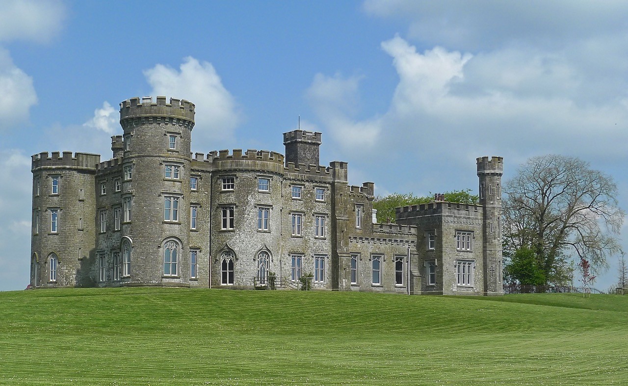 CastleHouse, fortified house · 1536 yd
 WestmeathVisitor information · 1.2 mi
 Ancient Ring FortWood · 2.5 mi
 Carrickphilbin IslandIslet · 3.5 mi
 Srudarra IslandIslet · 3.6 mi
 Hill of UisneachMountain / peak · 5.2 mi
 Sessile OakSessile Oak · 8.7 mi