What is recorded here
In reclaimed pasture, immediately SE of earthwork (LI040-023----). Tumulus described by O’Kelly (1944, 32) as follows; ‘To the S.E and 6’ [1.8m] from the outer edge of the fosse [LI040-023---] is a small low tumulus consisting of a slight mound surrounded by a fosse. It has no outer bank and its overall diameter is 60’ [18.3m]. Possible barrow described as a 'tumulus' by O'Kelly is visible to the immediate SE on OSi orthophotograph taken between 2005-12 and on Google earth orthoimages.
See attached Google Earth orthoimages.
Compiled by: Caimin O'Brien
Date of upload: 19 May 2021
The monument record does not grant public access. Check the route and ask the landowner before entering private land.
- What survives
- Recorded monument
Places near here
 BarrowBarrow, unclassified · 1102 yd
 Promontory fortPromontory fort, inland · 1519 yd
 Ballycahill Bridgebridge · 1.0 mi
 Mote - HachuredCastle, motte · 1.2 mi
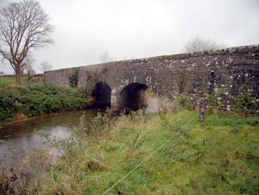 bridgebridge · 1.4 mi
 Gormanstown Castle (in ruins)Castle, unclassified · 1.7 mi
 Flat cemetery in Knockainy WestFlat cemetery · 1.7 mi
 St Patrick's WellSpring · 2.5 mi
 Edmund's WellSpring · 3.3 mi
 Ballinvreena LoopVisitor information · 4.0 mi
 Carn (site of)Cairn, burial cairn · 4.9 mi
 SlievereaghMountain / peak · 5.3 mi