
What is recorded here
Barrow is a hidden circular shadow in County Limerick pasture, appearing only when crop growth reveals its six-metre shape. It joins four other faint barrows near Rathanny, forming a cluster that escaped historic mapping but survived aerial photography from 1986 to 2018. The ground may still hold a buried chamber or simple cache, waiting for rain and sunlight to draw its outline across the grass.
In reclaimed pasture, 50m W of townland boundary with Rathanny. Cropmark of a possible earthwork (LI040-207001-) lies 205m to the NW. One of a cluster of 5 possible barrows (LI040-207002-/005-). Not marked on OSi historic maps. Identified as a circular cropmark by the Bruff aerial photographic survey in 1986 (Bruff 94; AP 5/2102). Trace of monument visible as a circular cropmark (diam. c. 6m) on Digital Globe orthoimage taken between 2011-13 and on Google Earth orthoimage dated 28/06/2018.
See attached Bruff survey image showing cropmark labelled Bruff 94 and Google Earth orthoimages.
Compiled by: Fiona Rooney
Date of upload: 29 June 2021
The monument record does not grant public access. Check the route and ask the landowner before entering private land.
- What survives
- Recorded monument
Places near here
 Grave YardBurial ground · 1072 yd
 Promontory fortPromontory fort, inland · 1312 yd
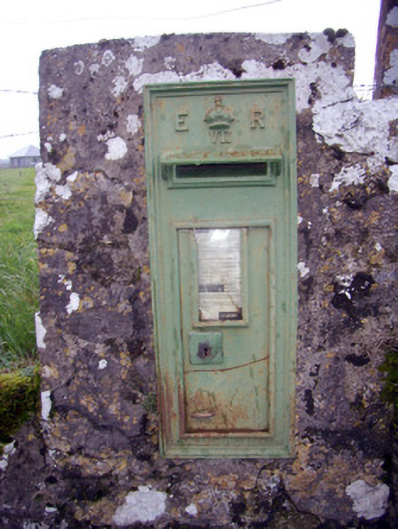 post boxpost box · 1571 yd
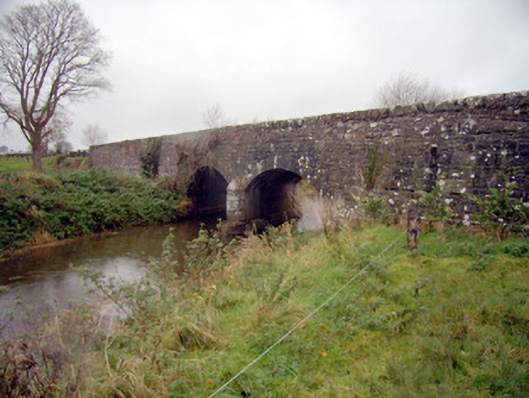 bridgebridge · 1659 yd
 Baggotstown Castle (in Ruins)House, fortified house · 1.2 mi
 Desmond Castle (in ruins)Castle, unclassified · 1.3 mi
 Flat cemetery in Knockainy WestFlat cemetery · 1.4 mi
 KnockainyMountain / peak · 1.8 mi
 St Patrick's WellSpring · 3.2 mi
 Edmund's WellSpring · 3.9 mi
 Ballinvreena LoopVisitor information · 4.6 mi
 Kilteely HillMountain / peak · 5.3 mi
Other information
Photo: Credit not shown in the picture search · Rights wording not checked; contact us if this picture should be removed