What is recorded here
In pasture 160m E of a roadway that marks the townland boundary with Tobernea West. Not depicted on the OSi historic maps. A possible barrow (LI047-090001-) lies 65m to SW. Identified as a possible bowl-barrow by Matt Kelleher when visited on 12/04/1997. Visible as a circular-shaped depression (diam. c. 7m) on Digital Globe orthoimage taken between 2011-13. No surface remains visible on Google Earth orthoimages dated 14/09/2019.
See attached Google Earth orthoimages.
Compiled by: Martin Fitzpatrick
Date of upload: 25 August 2021
A possible Neolithic bowl barrow; its significance lies in its potential contribution to understanding early burial practices in the region.
The monument record does not grant public access. Check the route and ask the landowner before entering private land.
- What survives
- Recorded monument
Places near here
 BarrowBarrow, unclassified · 78 yd
 Site of CastleCastle, unclassified · 467 yd
 Knockannaskeagh FortsFairy fort / earthen ringfort · 1039 yd
 Tobernea Housepresbytery/parochial/curate's house · 1127 yd
 Castle (in ruins)Castle, unclassified · 1227 yd
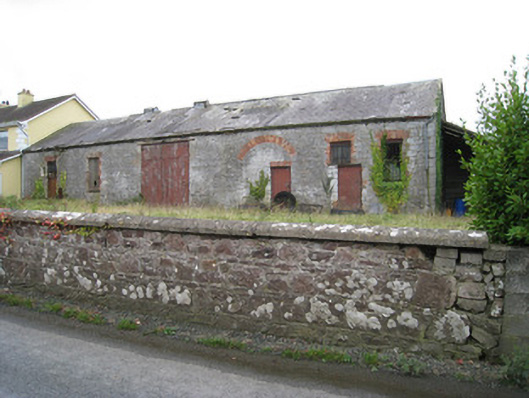 Effin Creameycreamery · 1720 yd
 Lady's WellSpring · 1.2 mi
 ToberSpring · 1.2 mi
 Caher HillMountain / peak · 2.6 mi
 BallinaboolaVisitor information · 3.5 mi
 Carron MountainMountain / peak · 3.7 mi
 Holy Cross CemeteryGraveyard · 3.8 mi