What is recorded here
In flat terrain at base of long N-S running ridge which slopes down to WSW, in pasture. Long, shallow pond with low trees growing around it is located immediately E of mound. Low, roughly circular flat-topped grass-covered mound (top diam. 15.7m N-S; 15.1m E-W; overall diam. 27.4m N-S; 28.2m E-W) defined by shallow scarp (H 0.96m; Wth 5.2m), less clearly defined in the E quadrant where the mound gradually slopes down towards the adjacent pond. Trace of external fosse (Wth 3.6m; D 0.27m) from S-W-NW.
Compiled by: Jean Farrelly
Date of upload: 26 August 2011
The monument record does not grant public access. Check the route and ask the landowner before entering private land.
- What survives
- Recorded monument
Places near here
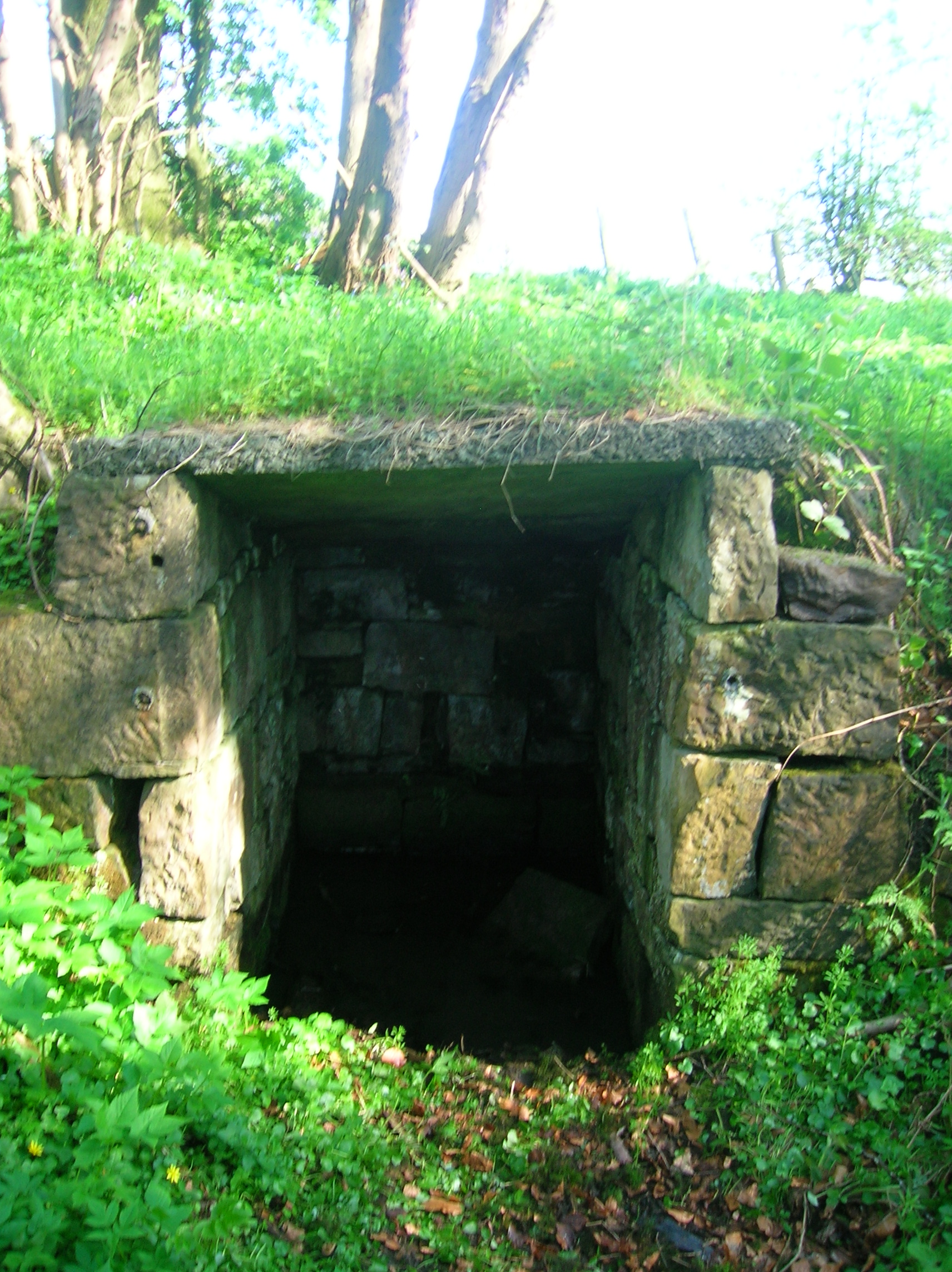 Ladys WellHoly well · 849 yd
 Milltown Househouse · 883 yd
 Enclosure in Milltown BrittonEnclosure · 1191 yd
 TempleeaChurch · 1218 yd
 CastleCastle, motte · 1.5 mi
 Ballyboe FortCastle, motte and bailey · 1.6 mi
 Persian WalnutPersian Walnut · 1.8 mi
 CarrickbrockMountain / peak · 2.0 mi
 Pedunculate OakPedunculate Oak · 2.1 mi
 CarrigdotiaMountain / peak · 2.4 mi
 East GateMemorial · 4.5 mi
 RetrospectMemorial · 4.7 mi