What is recorded here
Situated on the summit of a hill with earthwork (WM023-044----) 110m to S. Small poorly preserved irregular-shaped mound (overall diam. c. 18m NNE-SSW) of earth and stones which has been quarried away on the S (SMR File 17/09/1971). The shape of the mound has been altered by the extensive damage caused by the quarrying of the mound. Not depicted as an antiquity on 1837 ed. OS 6-inch map. This mound marks the ordnance datum point for 401 ft. as depicted on the 1837 ed. OS 6-inch map. It is possible that the earthwork may have been modified or constructed by the Ordnance Survey when taking a datum point from this hilltop. The classification and antiquity of this monument is uncertain and its poor condition makes it difficult to be certain about its original appearance. It has been suggested that this earthwork may represent the remains of a poorly preserved bowl-barrow (SMR File 17/09/1971). However in profile the mound has the appearance of a stepped-barrow rather than a bowl-barrow.
Compiled by: Caimin O’Brien
Date of upload: 20 July 2015
The monument record does not grant public access. Check the route and ask the landowner before entering private land.
- What survives
- Recorded monument
Places near here
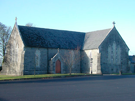 Catholic Church of the Immaculate Conceptionchurch/chapel · 400 yd
 Church in CartroncoraghChurch · 840 yd
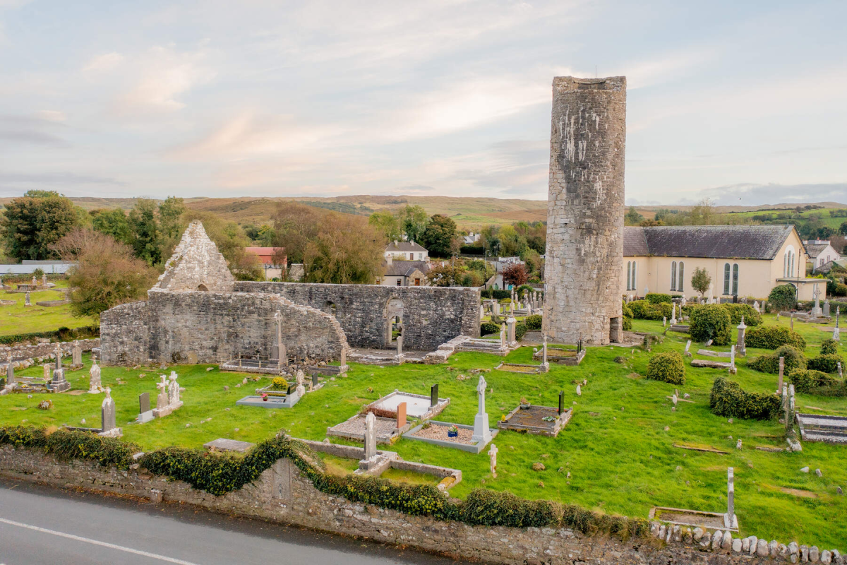 Tober EnainHoly well · 962 yd
 Man-made underground passage in ArdborraMan-made underground passage · 1693 yd
 Ardnagragh CastleCastle, tower house · 1.4 mi
 IndicatedCastle, unclassified · 1.4 mi
 Noughaval CemeteryArchaeological place · 2.9 mi
 European BeechEuropean Beech · 4.4 mi
 Japanese pagoda treeJapanese pagoda tree · 5.4 mi
 KnockastiaMountain / peak · 5.9 mi
 Beam IslandIslet · 8.5 mi
 Carberry IslandIslet · 8.6 mi