What is recorded here
Barrow stands on a Kildare knoll, a low grass mound barely half a metre high yet visible from the air. Its centre has been dug out and its edges cut back, suggesting people wanted inside rather than merely looking from a distance. The barrow may have marked a dead person, a boundary or a local story now lost. What remains is a small wound in the land where curiosity kept returning.
Prominently sited on a knoll. Visible on an aerial photograph (DoD, 1999). A small, low, grass-covered, sub circular, earthen mound (ext. diams. 11.7m N-S; 9.2m E-W; H 0.5 - 0.9m), the interior of which has been dug out to a depth of 0.3-0.6m (over an area of 2.7m N-S; 1.1m E-W). The edges of the mound have also been dug away intermittently along N and E..
Compiled by: Gearóid Conroy
Date of upload: 10 June 2011
A Neolithic barrow, dating to the 4th–3rd millennium BCE. Its location and construction suggest it was a funerary monument, though disturbance has compromised its archaeological integrity.
The monument record does not grant public access. Check the route and ask the landowner before entering private land.
- What survives
- Recorded monument
Places near here
 Enclosure in Curragh (ballysax East Ed)Enclosure · 75 yd
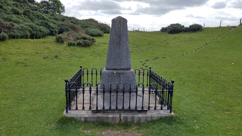 Donnelly's HollowMonument · 616 yd
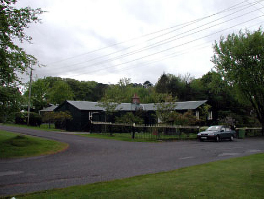 The Chalet ""K""-Linesprison/jail · 1243 yd
 Church in BallymanyChurch · 1244 yd
 CastleCastle, unclassified · 1.2 mi
 ElderElder · 1.5 mi
 Newbridge SilverwareMuseum · 1.5 mi
 TumulusCastle, motte and bailey · 1.9 mi
 Pollardstown Fen Nature ReserveNature reserve · 3.0 mi
 Saint Fiachra's GardenHeritage attraction · 4.0 mi
 Battle of Kilrushbattle · 6.8 mi
 Grand Canal WayVisitor information · 7.9 mi