What is recorded here
The site consists of a level concrete foundation surrounded by a slight bank, a deep fosse and a second, outer bank (overall diam. c. 65m). Shown as a circular enclosure on the 1st ed. (1838) of the OS 6-inch map, marked 'Observatory' on an 1866 revision, named 'Pavilion' on a 1911 revision and shown again as a circular enclosure on the current, 1941, revision. While the enclosing elements almost certainly occupy the position of the original enclosure, they have been extensively altered. (O'Riordáin 1950, 275: Site R)
Compiled by: Gearóid Conroy
Date of upload: 10 June 2011
The monument record does not grant public access. Check the route and ask the landowner before entering private land.
- What survives
- Recorded monument
Places near here
 Enclosure in Curragh (ballysax East Ed)Enclosure · 235 yd
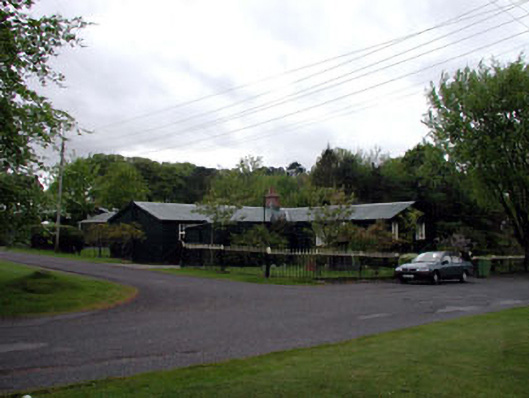 The Chalet ""K""-Linesprison/jail · 307 yd
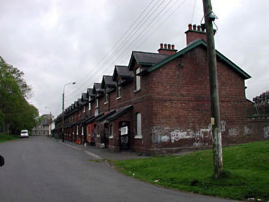 officer's houseofficer's house · 387 yd
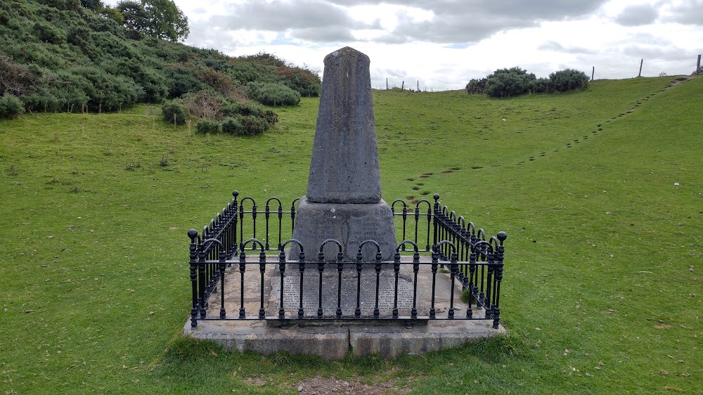 Donnelly's HollowMonument · 1046 yd
 ElderElder · 1534 yd
 CastleCastle, unclassified · 1.9 mi
 Newbridge SilverwareMuseum · 2.3 mi
 TumulusCastle, motte and bailey · 2.4 mi
 Pollardstown Fen Nature ReserveNature reserve · 3.4 mi
 Saint Fiachra's GardenHeritage attraction · 3.6 mi
 Battle of Kilrushbattle · 6.0 mi
 Grand Canal WayVisitor information · 8.6 mi