What is recorded here
Barrow in County Kerry is a partially destroyed burial mound on the lower foothills of the Slieve Mish mountains, commanding a sweeping view from east through north to west. Trees have since swallowed its edges, and a narrow access strip has flattened much of its central platform, yet the surrounding bank and fosse still mark the shape of a place people once built to hold death above the living landscape.
See field inspection report (diary NF6, 36-7) (SMR file). According to the report, this is a levelled earthwork identified on aerial photographs (Hunting Surveys Ltd. 1:10,000 8131/8132) taken 1962 and on Irish Air Corps aerial photographs (V.163/49) taken 10/05/1949.
Situated on the lower foothills of the Slieve Mish mountains, this partially destroyed barrow commands a dominant view from east through north to west. The field in which this site is located has recently been planted with deciduous forest, thereby almost completely obliterating the east and west elements of the barrow. It is described in the RMP manual as fulacht fiadh, however this was probably misidentified because of the large amount of scattered red sandstone which occurs on the almost scree-like slope.
The central platform is still visible, although much denuded, and measures 13.0m N-S. An accurate E-W measurement cannot be gauged as only a 4.0m wide strip has been left untouched, and the use of this strip as an access way has substantially flattened the barrow itself. In its present state the surrounding fosse is 3.50m wide, 0.30m below the top of the central platform and 0.35m below the top of the enclosing bank. This bank is approximately 4.0m in width and is 0.40m above external ground level. No trace of burning or burnt stone could be found to indicate that there was a fulacht fiadh in this area (Connolly 1996).
Above description is from 'Tralee Area Monument Catalogue' part of a PhD thesis submitted by Michael Connolly to UCC.
Matt Kelleher 31 May 2012
A levelled barrow, likely dating to the Early Bronze Age; its significance lies in its identification through aerial photography, contributing to the understanding of prehistoric burial practices in the region.
The monument record does not grant public access. Check the route and ask the landowner before entering private land.
- What survives
- Recorded monument
Places near here
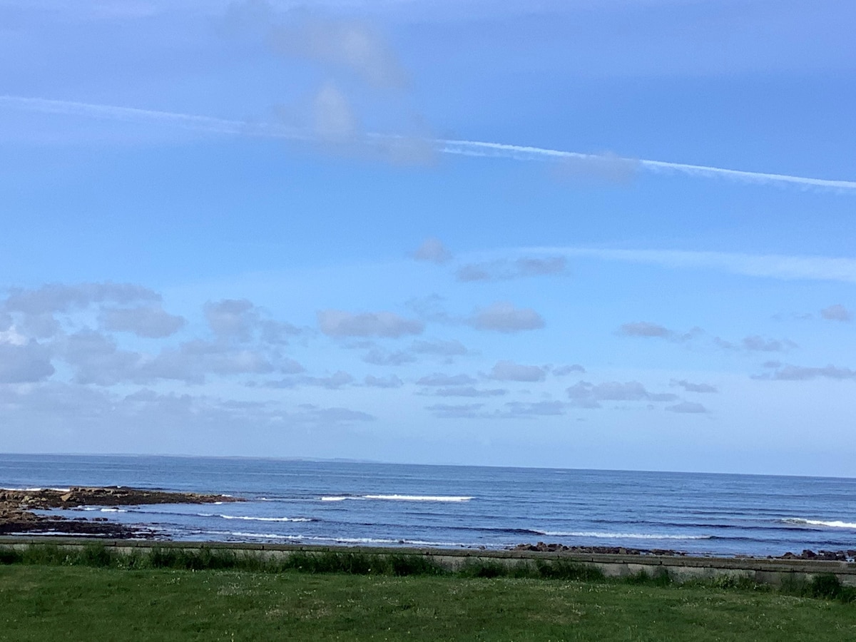 Enclosure in ClahaneEnclosure · 418 yd
 Field system in BallydunleaField system · 717 yd
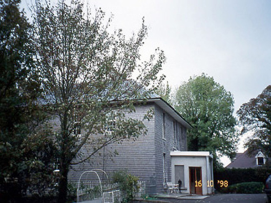 Belmont Househouse · 1581 yd
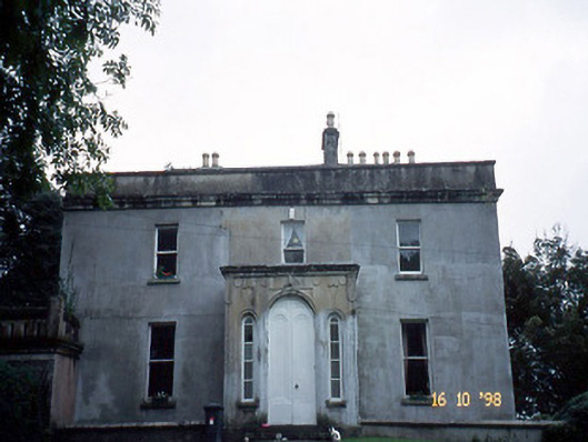 Ballyard Househouse · 1613 yd
 Tralee Bay Wetlands Eco and Activity ParkNature reserve · 1.0 mi
 Knockmichael MountainMountain / peak · 1.3 mi
 Sonny McCarthy MemorialMonument · 1.3 mi
 Kerry County MuseumMuseum · 1.4 mi
 Scotia's GraveArchaeological place · 1.4 mi
 Tralee Equestrian CentreHeritage attraction · 1.5 mi
 CastleCastle, unclassified · 1.5 mi
 Castle MacallistrumCastle, unclassified · 1.7 mi