What is recorded here
Aerial photograph (GB91.EK.19) shows cropmark of a circular enclosure defined by two concentric fosses, probably a plough-levelled barrow.
Compiled by: Dr Gillian Barrett for the Archaeological Survey of Ireland.
Date of upload: 15 April 2011
A plough-levelled barrow, likely dating to the Early Bronze Age, identified through aerial cropmarks. Its concentric fosses suggest a ritual or funerary function typical of burial monuments in this period.
The monument record does not grant public access. Check the route and ask the landowner before entering private land.
- What survives
- Recorded monument
Places near here
 Castlemore Housecountry house · 662 yd
 Enclosure in RathnashannaghEnclosure · 697 yd
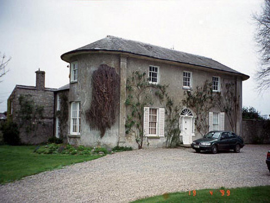 Hardymount Househouse · 1223 yd
 Enclosure in GrangefordEnclosure · 1288 yd
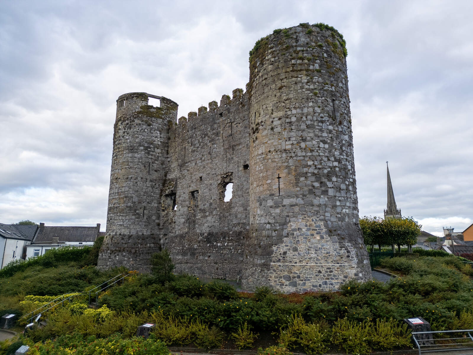 CastleCastle, motte · 1.9 mi
 Site of CastleCastle, unclassified · 2.3 mi
 Kilmurry Church (in ruins), GraveyardChurch · 2.4 mi
 European ashEuropean ash · 2.7 mi
 Church (in ruins), GraveyardChurch · 3.9 mi
 Pedunculate OakPedunculate Oak · 4.3 mi
 Duckett's GroveHeritage attraction · 4.3 mi
 Brownshill Portal TombVisitor information · 4.9 mi