What is recorded here
This monument was inspected in 1977 and described as follows: 'On flat marshy ground, the field to the SW and W of the monument is criss-crossed by a number of old field drains and old field banks. The site of a possible bowl-barrow has been disturbed by a fairly recently cut drain running E-W. On the N edge of this drain there is a slight rise (diam.c.6m) in the ground with a slight fosse-like depression around it. This rise seems to represent approximately half of a circular mound. There is no evidence in the exposed face of the drain of any archaeological features. At a depth of 0.25m below the grass and c. 1m apart, two horsehoes were visible sticking out of the exposed face. This low mound may therefore be an old horse burial but there is no indication of this in the exposed side of the drain and the shoes may have simply been buried by silt dumped out of the drain' (SMR file).
Compiled by: Caimin O'Brien
Date of upload: 06 March 2013
The monument record does not grant public access. Check the route and ask the landowner before entering private land.
- What survives
- Recorded monument
Places near here
 Killalea FortCastle, motte · 612 yd
 Partially hachuredFairy fort / earthen ringfort · 1062 yd
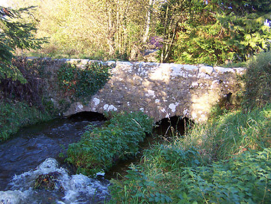 bridgebridge · 1062 yd
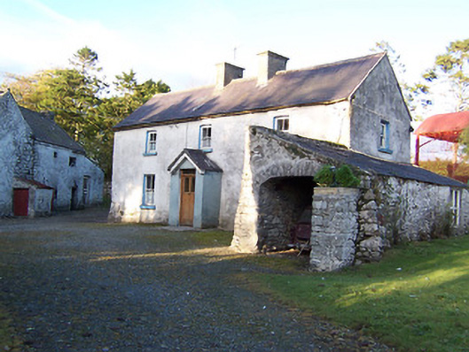 farm housefarm house · 1069 yd
 CastleCastle, motte · 1115 yd
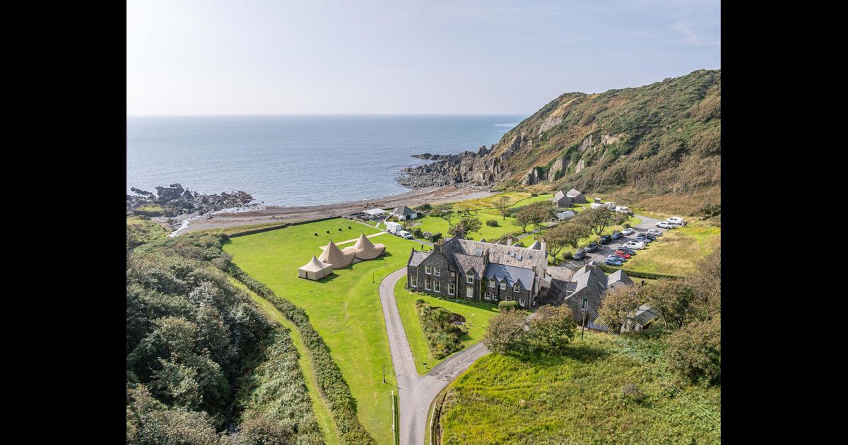 Hachured, RathbaneFairy fort / earthen ringfort · 1447 yd
 Kilmalady HillMountain / peak · 3.8 mi
 Japanese pagoda treeJapanese pagoda tree · 4.8 mi
 Bonfire HillMountain / peak · 5.4 mi
 Ardan WoodWood · 5.7 mi
 ToberaskeenSpring · 6.3 mi
 Clara Bog BoardwalkHeritage attraction · 7.6 mi