What is recorded here
Situated atop a small hillock that would be a good location for a barrow with good views from E-S-SW. There are no surface remains visible of any feature that corresponds to a cropmark consisting of two small concentric circles visible on aerial photographs (SMR File). The field has been recently reclaimed and a field fence at N has been removed.
Compiled by: Caimin O’Brien
Date of upload: 11 March 2013
This remains an important historical record, but the official description says the monument is no longer visible or has been destroyed. The monument record does not grant public access. Check the route and ask the landowner before entering private land.
- What survives
- No visible remains or recorded as destroyed
Places near here
 Partially hachuredFairy fort / earthen ringfort · 323 yd
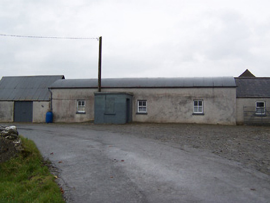 farm housefarm house · 681 yd
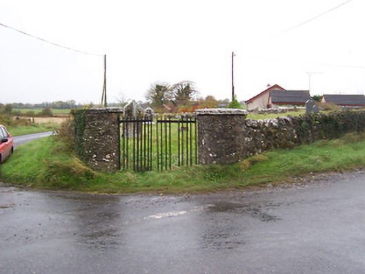 Balrath Graveyardgates/railings/walls · 862 yd
 Balrath CastleCastle · 890 yd
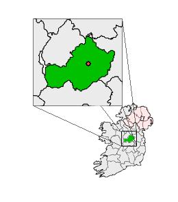 Partially outlinedCastle, unclassified · 1739 yd
 Bonfire HillMountain / peak · 4.0 mi
 Ardan WoodWood · 4.1 mi
 Kilmalady HillMountain / peak · 5.1 mi
 High WoodWood · 5.6 mi
 St. Columba's WellSpring · 5.9 mi
 Clara Bog BoardwalkHeritage attraction · 8.5 mi