What is recorded here
In pasture 30m S of the townland boundary with Ballynamona. Possible barrow (LI40-241----) lies 25m to E and possible barrow (LI040-224----) 40m to SE. Not depicted on OSi historic maps. Identified by Kathetrine Daly as a possible barrow from Bruff aerial photographic survey in 1986 (Bruff AP 5/2115). No surface remains visible on Google Earth orthoimages.
See attached Bruff aerial photograph and Google Earth orthoimages.
Compiled by: Martin Fitzpatrick
Date of upload: 28 June 2021
The monument record does not grant public access. Check the route and ask the landowner before entering private land.
- What survives
- Recorded monument
Places near here
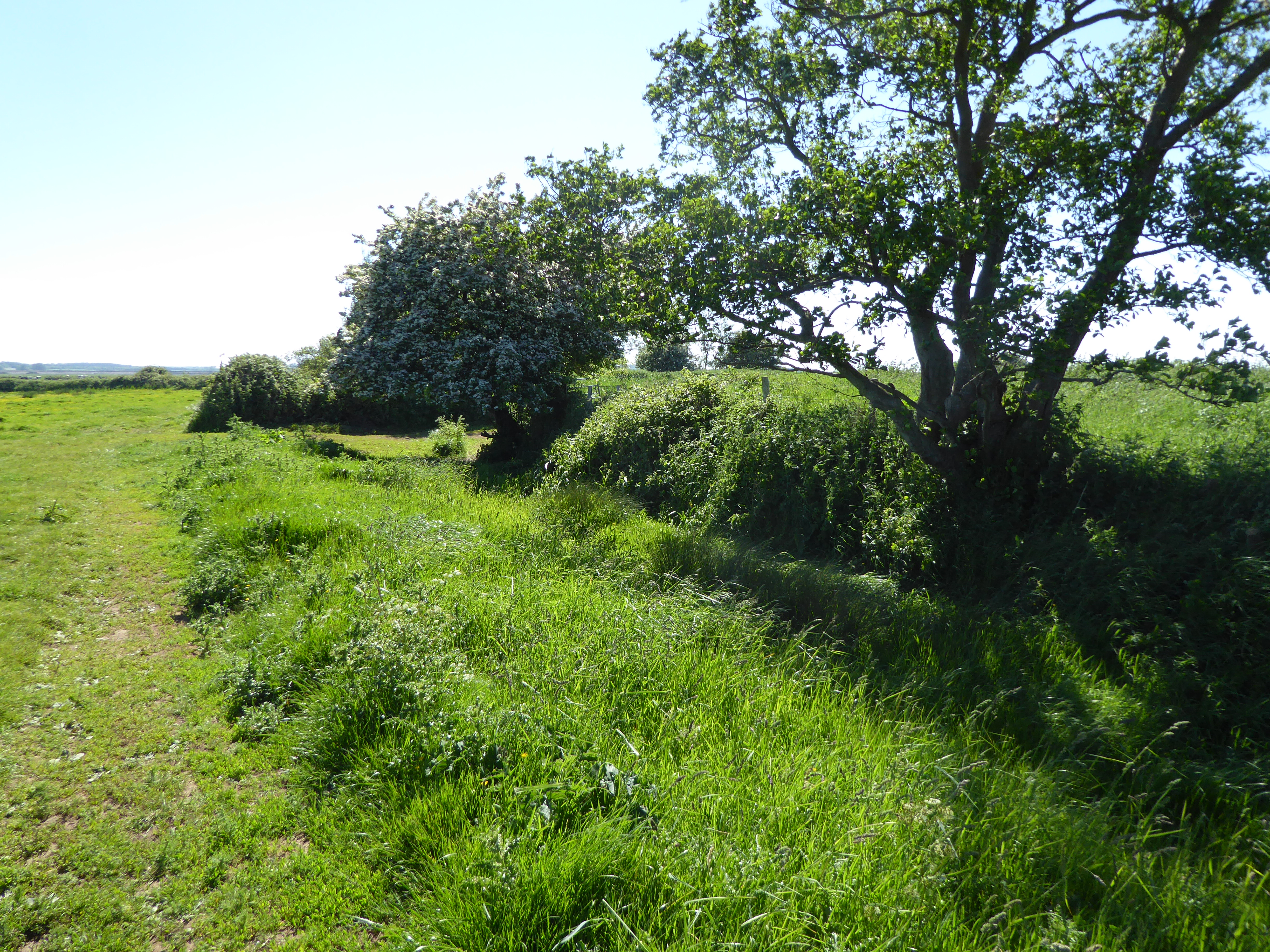
 BarrowBarrow, unclassified · 42 yd
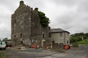
 Site of Bulgaden HallCastle, unclassified · 830 yd
 Burial mound in Ballynamona (smallcounty By., Uregare Ed)Burial mound · 1054 yd
 Bulgaden Castle (in ruins)Castle, tower house · 1563 yd
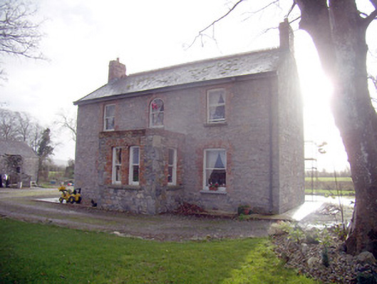 Lady Househouse · 1.1 mi
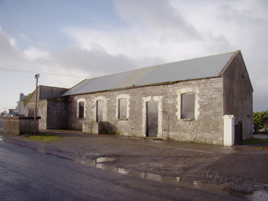 Bulgaden Creamerycreamery · 1.1 mi
 KnockainyMountain / peak · 3.8 mi
 Flat cemetery in Knockainy WestFlat cemetery · 4.1 mi
 St Bridget's WellSpring · 4.3 mi
 Ballinvreena LoopVisitor information · 5.1 mi
 Edmund's WellSpring · 5.3 mi
 Palatine's RockNamed rock · 6.6 mi