
What is recorded here
O’Kelly found a hollow on the north side that may have entered an underground passage. A land-owner began digging there, stopped when a stone arch appeared, and left the mound broken but standing. The buried chamber still waits beneath the pasture, marking the limit of human patience.
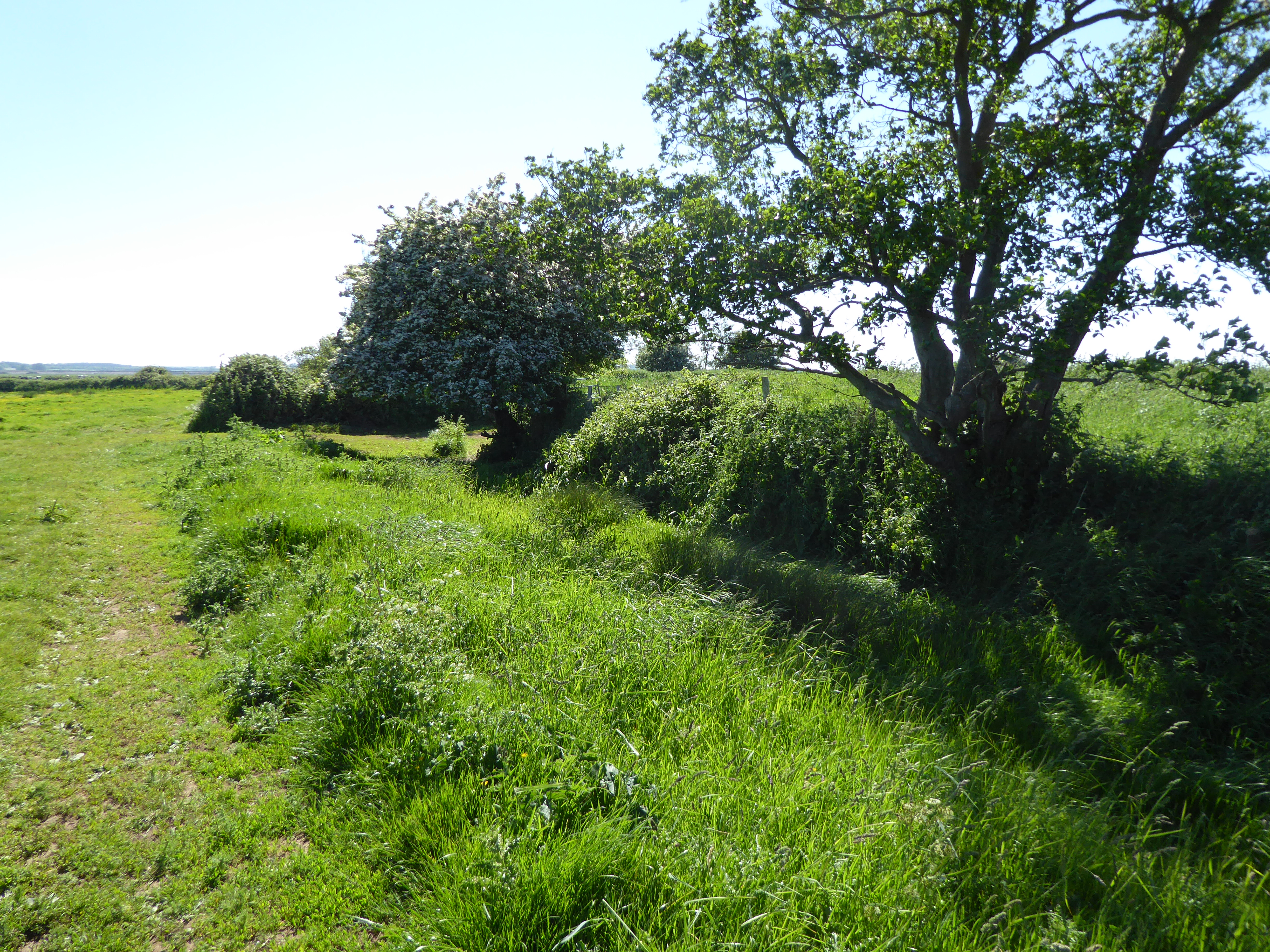
In reclaimed pasture, 100m S of townland boundary with Tankardstown, 120m SW of townland boundary with Ballincolloo. Located to the W a group of possible barrows (LI040-061004-; 061006/009-) and 30m NE of a possible ditch barrow (LI040-061002-). Not marked on 1840 ed. OSi 6-inch map. Depicted on the Cassini ed. OSi 6-inch map as a small circular platform (diam. c. 12m) defined by a scarp. Monument described by O’Kelly (1944, 52) as a Type A earthwork consisting of ‘a small circular platform which appears to have been surrounded by a fosse and outer bank. These two features are doubtful as drainage trenches have been made on both sides of it, and have done much damage. The height of the platform is 5’ [1.5m] and the overall diameter is 65’ [19.8m]. At the N side of the platform is a hollow which may be the entrance to a Man-made underground passage. The land-owner made an attempt to dig away the monument and began at this point, but when very little had been done, the remains of a stone ‘arch’ became visible, and the work was discontinued. On the other side of the fence which lies immediately E of it are three ring-barrows.’ Scrub-covered earthwork visible on OSi orthophoto taken between 2005-12 and on Google Earth orthoimages.
See attached Google Earth orthoimages.
Compiled by: Fiona Rooney
Date of upload: 28 April 2021
The monument record does not grant public access. Check the route and ask the landowner before entering private land.
- What survives
- Recorded monument
Places near here
 IndicatedBarrow, ring-barrow · 201 yd
 BarrowBarrow, unclassified · 238 yd
 Site of Bulgaden HallCastle, unclassified · 1459 yd
 RoadRoad, road/trackway · 1.1 mi
 Gormanstown Castle (in ruins)Castle, unclassified · 1.1 mi
 Gormanstown Bridgebridge · 1.3 mi
 KnockainyMountain / peak · 3.2 mi
 Flat cemetery in Knockainy WestFlat cemetery · 3.5 mi
 St Bridget's WellSpring · 4.9 mi
 St Patrick's WellSpring · 5.0 mi
 Ballinvreena LoopVisitor information · 5.1 mi
 SlievereaghMountain / peak · 6.7 mi
Other information
Photo: Credit not shown in the picture search · Rights wording not checked; contact us if this picture should be removed