What is recorded here
In rough poorly drained grassland, 80m N of the R506 and 40m S of a local access road. Depicted as a large circular-shaped area enclosed by a bank and ditch on the 1840 OS 6-inch map. The 1897 OS 25-inch map depicts the monument as a raised circular-shaped area (approx. int. diam. 24m N-S X 22m E-W; max. ocerall diam. 62m NE-SW) enclosed by a ditch (approx. W 10m), bank (approx. W 4.2m) with traces of an outer ditch from N to E. Post-1700 field boundaries intersect the monument at W and S. Google Earth orthoimage taken 2018 shows the monument heavily overgrown with trees and drainage features to the SE. The wetland location along with the representation of the monument on various editions of the OS maps suggests that this may be the remains of some form of barrow site or henge type monument due to the presence of an internal ditch.
See attached Google Earth orthoimage taken 28/06/2018
Compiled by: Fiona Rooney
Date of upload: 11 June 2020
A Neolithic bowl barrow; significant as a rare surviving prehistoric burial monument in the region.
The monument record does not grant public access. Check the route and ask the landowner before entering private land.
- What survives
- Recorded monument
Places near here
 Outlined, 125 ft. ODMound · 611 yd
 OutlinedEnclosure · 1045 yd
 Saint Patrick's Catholic Churchchurch/chapel · 1.0 mi
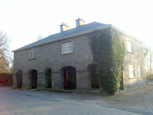 garda station/constabulary barracksgarda station/constabulary barracks · 1.1 mi
 Jackie PowerMemorial · 1.6 mi
 CastleCastle, unclassified · 1.6 mi
 Castle Troy (in ruins)Castle, tower house · 2.7 mi
 Campus MapVisitor information · 3.3 mi
 Visitor CentreVisitor information · 3.3 mi
 Fountain SculptureHeritage attraction · 3.4 mi
 Graveyard in AbingtonGraveyard · 3.6 mi
 Seán Keating GalleryGallery · 6.0 mi